WG Tech
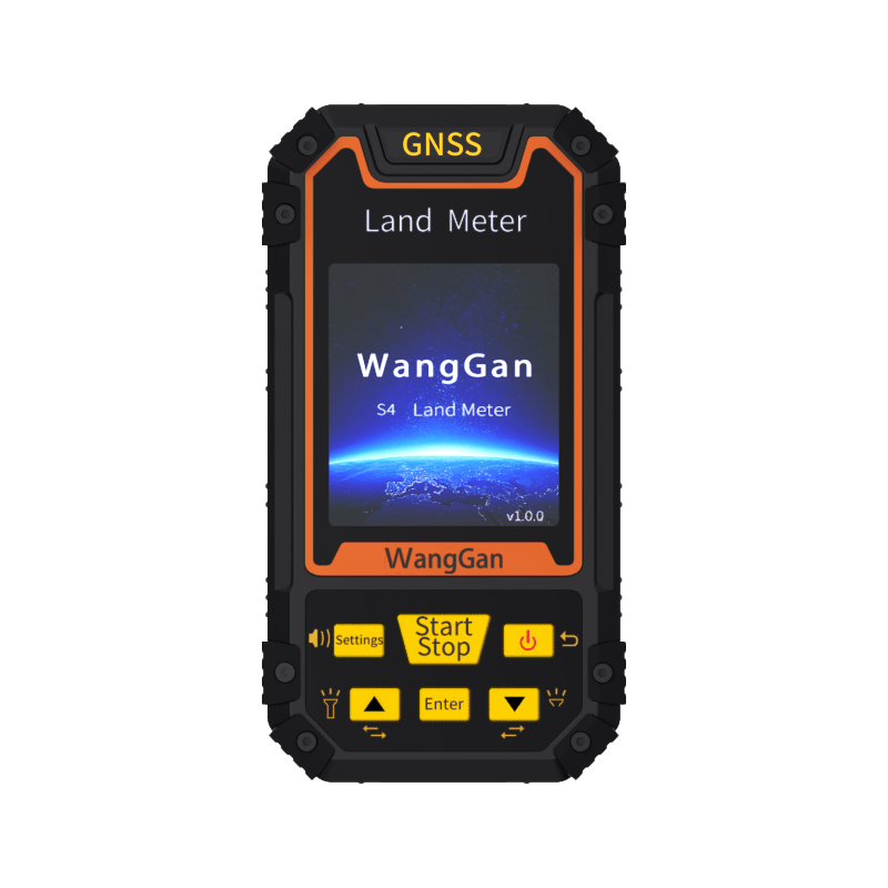
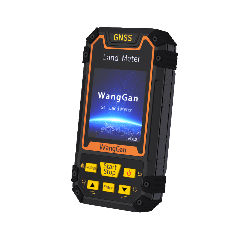
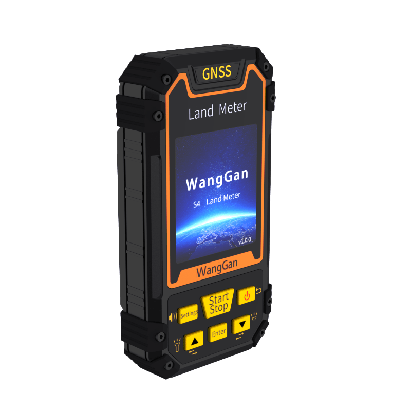
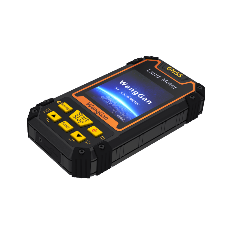
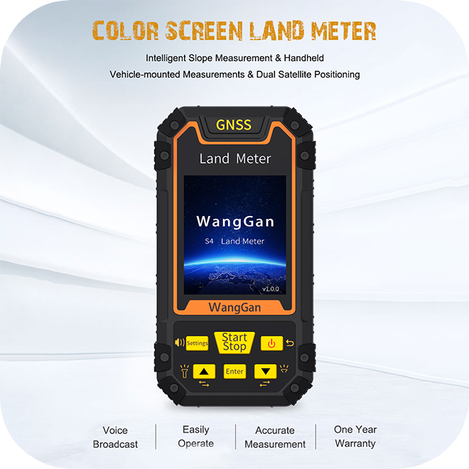
Handheld GPS/GNSS High Accuracy Land Meter s4
Handheld GPS/GNSS High Accuracy Land Meter s4
Using GPS satellite positioning, easily measure irregular land areas. Simply walk around the land, and the system will automatically measure without the need for calculations.
Couldn't load pickup availability
Share
Measure Smarter, Not Harder
Transforming the Way You Measure Land
With high sensitivity GNSS receiver chip, our land surveying machine is high tech and can receive satellite signals: GPS GNSS SBAS BeiDou.
- The color screen of the GPS land meter can display longitude and latitude, altitude, area measurement, distance measurement, land price calculation.
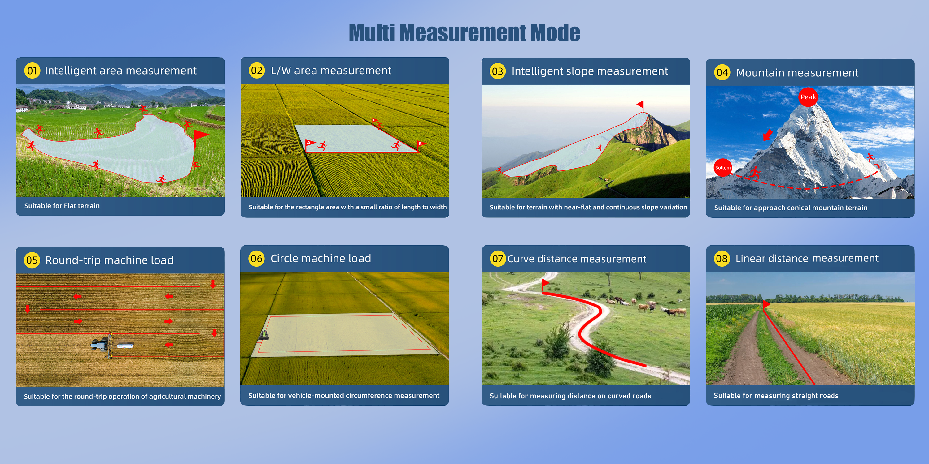
- 8 area measurement modes: Normal mode, mountain mode, intelligent slope mode, length and width mode, fixed width mode, fixed point mode, circle machine load, round-trip machine load.
- The GNSS receiver has 2 distance measurement modes: Normal distance mode and multipoint mode.
- You can easily set unit-price and total working price display after measurement with our GPS land meter.
Measurement for Any Terrain
Measure Land Instantly with GNSS Technology
Error as low as ±1% (greater than 0.5 acres)
Our land meter supports all types of terrain, whether it is flat land or hills, there are corresponding modes, accurate measurement, reduce errors
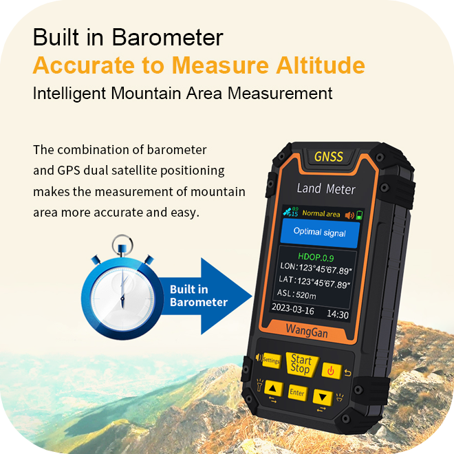
Built in Barometer
The combination of barometer and GPS dual satellite positioning makes the measurement of mountain area more accurate and easy.
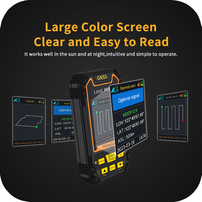
Support Data Export
Our device can store 99 measurement records, and you can also import the data into the computer for easy management and viewing.

Why You Need a Land Meter?
-
Easy measure
You only need to walk around the land effortlessly, and the area will be calculated automatically.
-
Best for agriculture
Measuring land area can help you better plan crop planting or livestock management, such as how to allocate your irregular farmland in a 1:1 ratio.
-
Assisting agricultural machinery
Our device can be mounted on agricultural machinery. Imagine finishing your work with a harvester or planter and automatically obtaining the area of the farmland you’ve covered.
