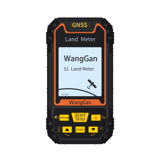
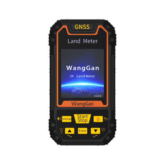
Why Do You Need a Handheld GPS Navigator?
Share
For surveyors, farmers, and land developers, accurate land measurement is essential. While high-precision RTK systems are widely used, they are not always the most practical solution for every situation. A handheld GPS navigator provides a simpler, more flexible alternative, making land measurement faster and more convenient.
One of the biggest advantages of a handheld GPS device is its speed and ease of use. RTK systems require setup, calibration, and stable signal reception, which can be time-consuming. In contrast, a handheld GPS navigator allows for quick preliminary measurements, helping users get an estimate of land area within minutes. This is particularly useful for pre-survey assessments, where professionals need to check multiple locations before deciding where to conduct detailed mapping.
In emergency situations, time is critical. Whether responding to a natural disaster, evaluating land for urgent development, or conducting rapid assessments, a handheld GPS navigator is a reliable tool that works immediately without requiring an internet connection or base station. Emergency teams and surveyors can quickly map affected areas and collect key data without unnecessary delays.
Another major benefit is its ability to work in challenging environments. RTK systems depend on differential signals, which can be weak or unavailable in remote locations like mountains, forests, or near water bodies. In these areas, a handheld GPS navigator functions independently, providing a practical solution when RTK technology fails.
Not all land is easily accessible. Some areas are covered in thick vegetation, others have steep slopes, and certain locations include water obstacles. RTK requires clear perimeter access, but a handheld GPS allows users to take multiple point readings without needing to physically walk around the entire area. This makes it an excellent choice for farmers measuring irregular fields, construction workers mapping large sites, and environmental researchers studying natural landscapes.
Even when using an RTK system, a handheld GPS navigator serves as a valuable backup. RTK devices can experience signal loss, malfunctions, or setup difficulties, and having a simple, standalone GPS ensures that surveying work can continue without major disruptions. Many professionals also use GPS devices to cross-check data and verify land measurements.
Beyond its functionality, a handheld GPS navigator is also cost-effective. RTK systems require expensive subscriptions and additional hardware, making them a costly investment. For those who don’t need centimeter-level accuracy, a handheld GPS provides a reliable alternative at a fraction of the price. It’s an ideal solution for small-scale farmers, independent contractors, and businesses with budget constraints.
Despite its many features, a handheld GPS remains easy to use. With a simple interface and intuitive controls, even non-experts can operate it effectively. Whether for quick measurements, backup use, or work in remote areas, a handheld GPS navigator is a must-have tool. Invest in one today and simplify your land measurement process!