Why Choose a More Advanced Land Meter?
Share
Many customers ask: If accuracy is the same, why choose a model with more features? The S1 is simple—just walk around the land, and it measures the area. Isn’t that enough?
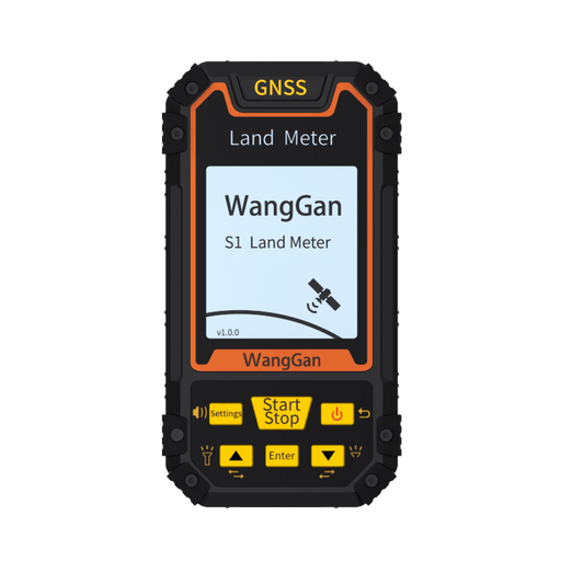
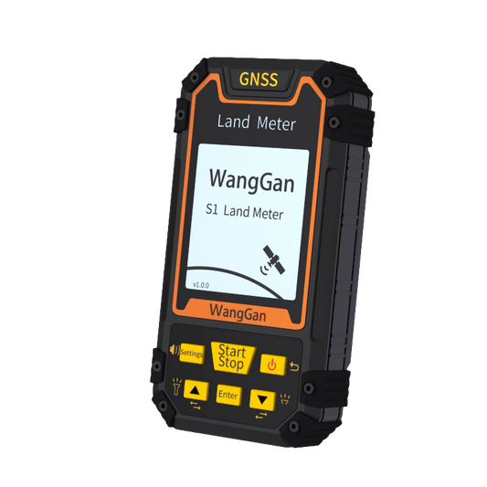
The Simplicity of S1: Ideal for Basic Needs
The S1 model is designed with simplicity in mind. It includes only the most essential measurement mode, making it incredibly easy to use. For those who need to measure small, flat plots of land with no obstacles, S1 is a perfect choice. Users can simply walk around the perimeter, and the device calculates the area with high precision.
This ease of use is why many first-time users prefer S1. There’s no need for complicated setup or reading lengthy manuals—it’s a straightforward device that delivers accurate measurements in the right conditions. However, what if the land you need to measure isn’t a simple, flat rectangle?
The Limitations of Basic Land Meters
In an ideal world, all land would be flat, open, and easy to access. But in reality, land measurement often comes with challenges:
Sloped or Uneven Terrain: Many farmlands, orchards, and construction sites are not perfectly level. If a land meter only calculates based on a flat walking path, it won’t account for the actual land area on a slope.
Obstacles and Vegetation: Dense forests, overgrown grass, or water bodies (such as fish ponds) can make it impossible to walk around the entire perimeter. A simple device like S1 requires a complete loop, meaning it won’t work effectively in areas where walking the full boundary is difficult.
Irregularly Shaped Land: Some properties are not rectangular or circular but have complex boundaries with sharp turns, multiple sections, or mixed terrain. A basic land meter may struggle to provide accurate measurements in such cases.
For users who only measure land under perfect conditions, the S1 might be sufficient. But for many others, these limitations become a real problem.
Why More Features Matter
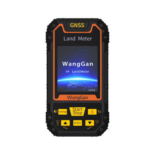
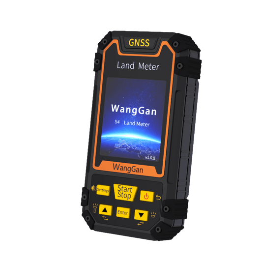
To address these challenges, we continuously enhance our land meters with new measurement modes. Each additional feature isn’t just a gimmick—it’s designed to solve real-world problems. Here’s how more advanced models can help:
1. Multiple Measurement Modes: Advanced land meters offer different ways to measure land. For example, instead of requiring a full perimeter walk, some models allow for GPS-based point-to-point measurements, which work well when obstacles prevent walking in a straight path.
2. Slope Compensation: A land meter with slope compensation can accurately measure land even on uneven surfaces, ensuring precise calculations regardless of terrain.
3. Hybrid Measurement Methods: Some devices combine traditional perimeter walking with satellite-based area calculations, providing flexibility in different environments.
4. Data Storage and Transfer: Advanced models often allow users to save, store, and transfer measurement data digitally, reducing the risk of manual errors and making it easier to analyze land use.
The idea behind these features is not to make the device more complicated, but to make land measurement more practical and efficient in all situations.
The Right Tool Makes the Job Easier
Some users worry that additional features mean a more complex device, but that’s not the case. Our land meters are designed to remain user-friendly while offering extra functions that make measurements faster and more accurate.
Think of it like upgrading from a basic phone to a smartphone. A simple phone allows you to call and text, but a smartphone lets you navigate maps, take high-quality photos, and access the internet—without making basic functions harder to use. The same applies to land meters: added features don’t take away from simplicity; they enhance usability.
Whether you’re a farmer measuring your fields, a construction manager surveying land, or a researcher analyzing geographical data, having a land meter with multiple measurement modes ensures that you get the most precise results in any situation.
Conclusion
Choosing the right land meter depends on your specific needs. If you only measure small, accessible, and flat plots, a basic model like S1 may be enough. But if you work with more complex landscapes, a land meter with additional features will save you time, effort, and ensure more accurate results.
At the end of the day, a tool is only as useful as its ability to perform in real-world conditions. More features mean more flexibility, greater precision, and an overall better experience.