What can a land surveying equipment be used for?
Many people may think that land surveying equipment have limited utility, seeming to only measure land area, a function that smartphone apps can seemingly replicate. However, land surveying equipment are actually highly versatile tools that integrate various measurement needs, covering most individual land planning tasks. Let me introduce you to the multiple functions and advantages of land surveying tools:

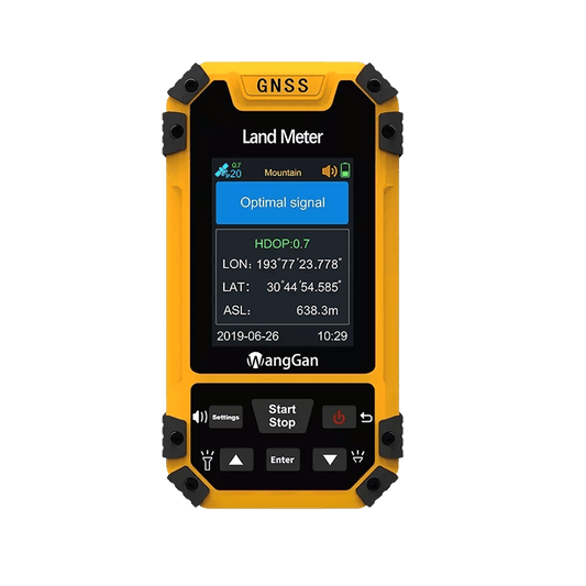
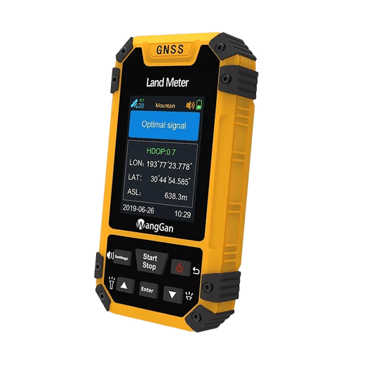
1. **Measuring Land Area**: This is the core and primary function of a land meter. It allows you to accurately measure the area of any piece of land, whether irregular or rugged terrain, using corresponding modes.
2. **Dividing Land for Different Uses**: When you need to plant different crops on large agricultural lands, you can utilize the machine load mods of the land meter. By driving your agricultural car around the land perimeter, you can easily measure the area and then import the data into a computer for quick land zoning. This can be done without the need for drone.
For large, regularly shaped areas, you can use the L/w mode by simply recording the length and width of the area, which is more convenient and straightforward than circling the area.
3. **Recording and Managing Land Information**: Our land meter support data import and export to computers in various formats. This allows you to record measured land information and planning data, serving as a basis for future management and decision-making to ensure long-term sustainability and efficiency of land planning.
4. **Supporting Use in Areas Without Mobile Signal**: Many agricultural lands are located in rural or remote areas where has no mobile signal coveraged. Our land surveying meter use high-precision six-star GPS systems that cover global regions. Even without mobile signals, we can still conduct land surveys by receiving GPS signals, ensuring measurement accuracy.
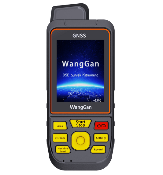
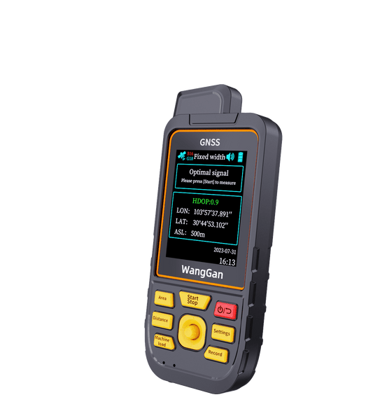
5. **Supporting Positioning and Navigation Features**: Some models of our land surveying instruments (such as S8 and D6E) support GPS positioning and navigation functions. If you are concerned about conducting land surveys in unfamiliar areas where network signals are weak and you may need assistance, our land survey tools can set waypoints before departure or record tracks during departure. If you get lost or need to return, the track navigation function can accurately guide you back to the starting point, ensuring your safety. This feature is also useful for exploration, as the device serves as a lightweight GPS locator and navigator without adding extra burden.

Through these specific uses, a land surveying equipment can assist you in accurately measuring, allocating, and efficiently utilizing land resources in agricultural planning, thereby optimizing agricultural production and land management.
1. **Measuring Land Area**: This is the core and primary function of a land meter. It allows you to accurately measure the area of any piece of land, whether irregular or rugged terrain, using corresponding modes.
2. **Dividing Land for Different Uses**: When you need to plant different crops on large agricultural lands, you can utilize the machine load mods of the land meter. By driving your agricultural car around the land perimeter, you can easily measure the area and then import the data into a computer for quick land zoning. This can be done without the need for drone.
For large, regularly shaped areas, you can use the L/w mode by simply recording the length and width of the area, which is more convenient and straightforward than circling the area.
3. **Recording and Managing Land Information**: Our land meter support data import and export to computers in various formats. This allows you to record measured land information and planning data, serving as a basis for future management and decision-making to ensure long-term sustainability and efficiency of land planning.
4. **Supporting Use in Areas Without Mobile Signal**: Many agricultural lands are located in rural or remote areas where has no mobile signal coveraged. Our land surveying meter use high-precision six-star GPS systems that cover global regions. Even without mobile signals, we can still conduct land surveys by receiving GPS signals, ensuring measurement accuracy.
5. **Supporting Positioning and Navigation Features**: Some models of our land surveying instruments (such as S8 and D6E) support GPS positioning and navigation functions. If you are concerned about conducting land surveys in unfamiliar areas where network signals are weak and you may need assistance, our land survey tools can set waypoints before departure or record tracks during departure. If you get lost or need to return, the track navigation function can accurately guide you back to the starting point, ensuring your safety. This feature is also useful for exploration, as the device serves as a lightweight GPS locator and navigator without adding extra burden.
Through these specific uses, a land surveying equipment can assist you in accurately measuring, allocating, and efficiently utilizing land resources in agricultural planning, thereby optimizing agricultural production and land management.