Wanggan D6E — Precision in Your Hand
Share
Accurate positioning is the foundation of efficient field work.
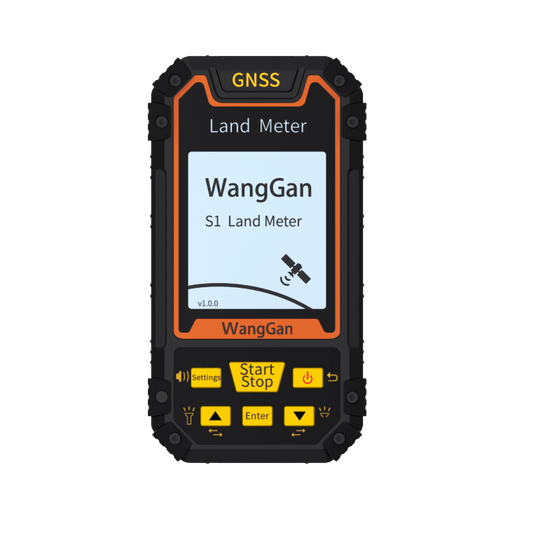
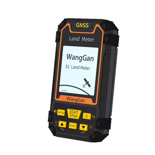
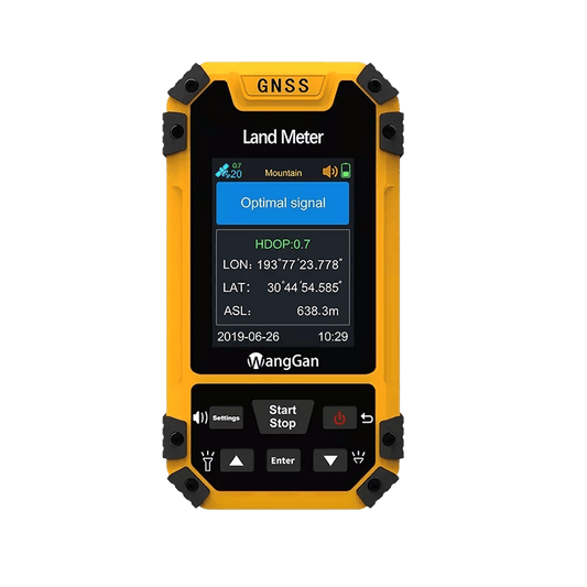
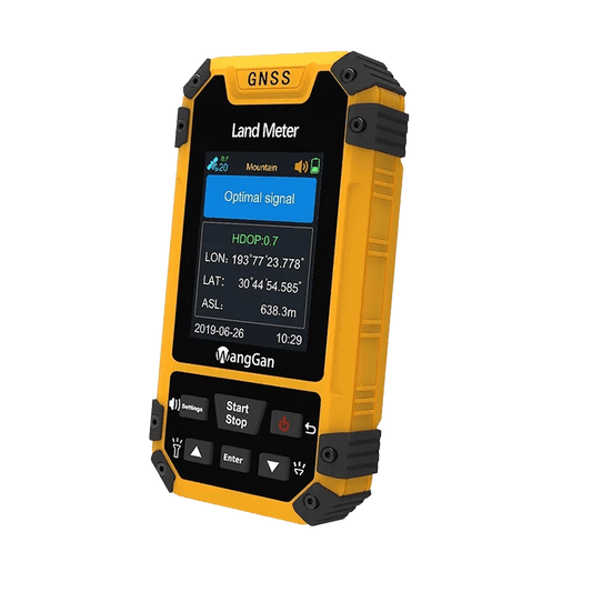
Wanggan D6E is a professional handheld GPS device designed for precise navigation, waypoint collection, and land measurement—all packed into a compact and reliable tool.
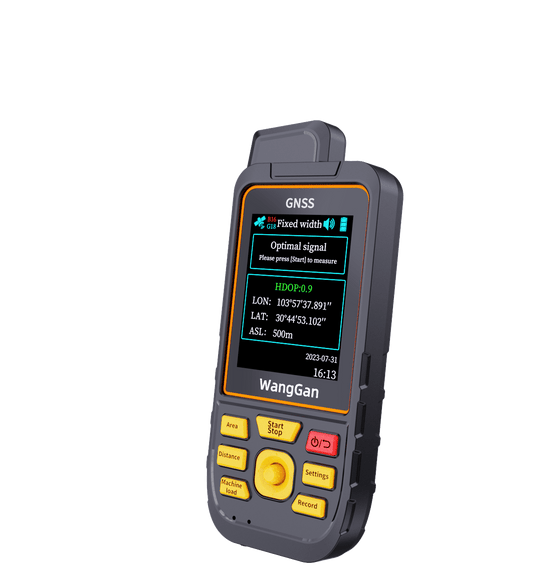
Powered by high-accuracy GNSS positioning, the D6E allows users to quickly determine their location and navigate with confidence. Coordinates are displayed clearly in real time, making it easy to mark points, revisit locations, and stay on track in complex outdoor environments.
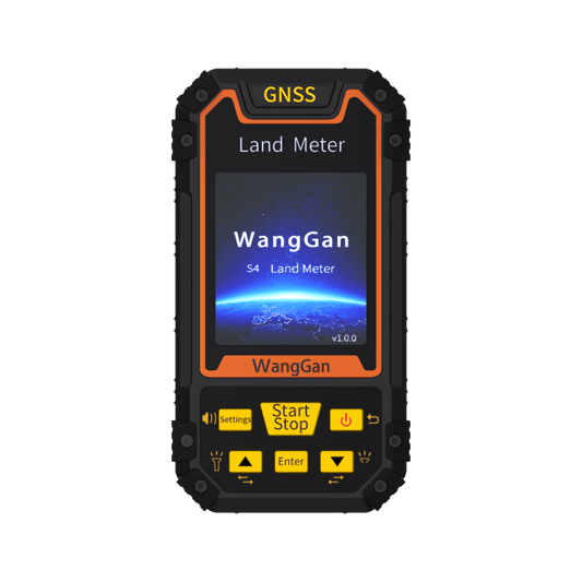
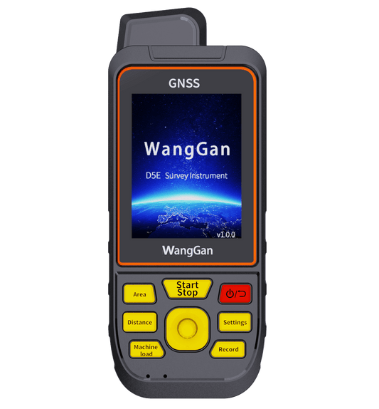
Beyond navigation, Wanggan D6E is built for practical land surveying tasks. Users can collect waypoints, measure land boundaries, and record area data simply by walking the site. The operation is intuitive and efficient, requiring no complicated setup or additional equipment.
Designed for real-world field conditions, the D6E is lightweight, portable, and dependable. It performs consistently across different environments, from farmland and forests to construction sites and utility inspections. Collected data can be exported for further analysis, reporting, or documentation, helping users turn field measurements into usable results.
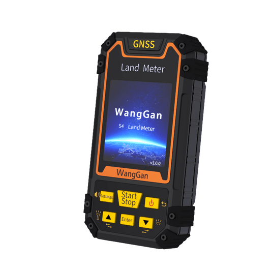
Wanggan D6E is ideal for professionals in agriculture, land management, surveying, forestry, construction, and infrastructure maintenance who need reliable positioning and measurement tools they can trust.
Navigate with confidence.
Measure with accuracy.
Record with ease.
Wanggan D6E — Navigate. Measure. Record.