Solving Land Surveying Challenges for Agricultural Planning with the D5E Land Meter
Share
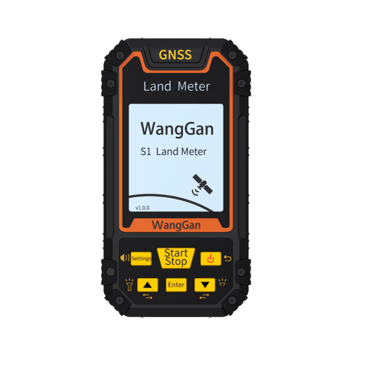
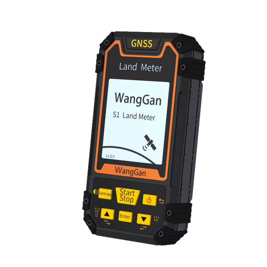
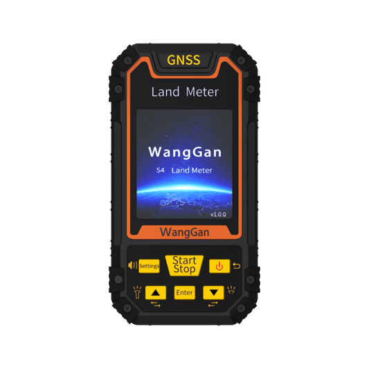
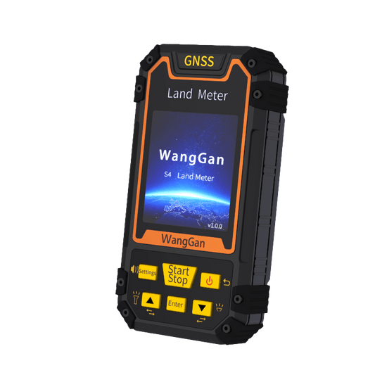
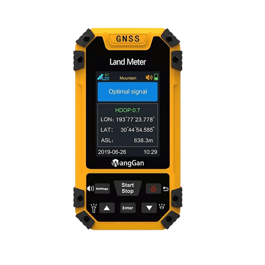
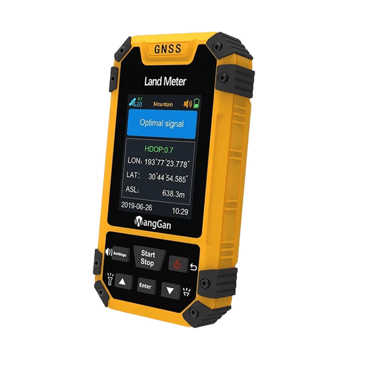
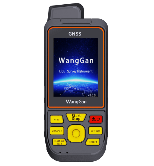
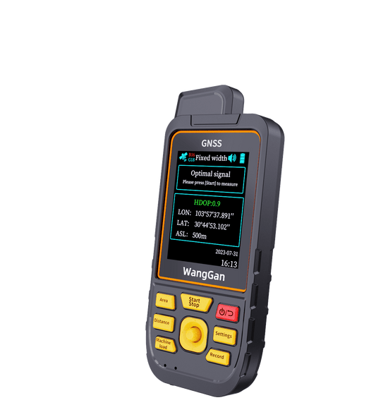
One of the most common challenges faced by farmers is accurately measuring the land, especially when planning irrigation systems or optimizing crop placement across large, irregular plots. The D5E Land Meter from Wanggan Tech offers a powerful, simple solution for farmers seeking to improve the precision and efficiency of their land surveys.
---
The Problem: Inaccurate Land Measurements in Agriculture
Many farmers rely on outdated tools or manual methods to measure their land, leading to errors in planting, irrigation, and resource allocation. These inaccuracies can lead to:
- Inefficient use of water: Over or under-watering crops can impact yield and increase water waste.
- Incorrect crop spacing: Misjudging distances can lead to overcrowded crops or wasted land.
- Time-consuming measurements: Traditional methods are slow, requiring more labor and resources.
These issues result in higher operational costs and lower crop productivity.
---
How the D5E Solves the Problem
The D5E Land Meter provides farmers with a precise, fast, and easy way to measure large areas, improving both efficiency and accuracy.
- Precise Measurements for Optimized Irrigation: The D5E’s GNSS technology offers meter-level accuracy, allowing farmers to map out the exact boundaries of their fields, identify slopes, and calculate the area of each section for more effective water management.
- Faster Surveys with Less Labor: With its multiple measurement modes, a single operator can quickly survey large fields, reducing the time spent on manual measurements and freeing up resources for other tasks.
- Improved Crop Planning: The D5E’s accurate land mapping helps farmers determine the optimal planting layout, ensuring proper spacing between crops and reducing resource waste.
---
Real-World Application: Optimizing Irrigation
In California, a farm specializing in crops like almonds and grapes struggled with uneven water distribution across their 200-acre plot. Using the D5E Land Meter, they were able to map the land's elevation changes and pinpoint areas that needed more or less water. As a result, they reduced water waste by 25% and increased crop yield.
---
Why Choose the D5E?
- Accurate: Meter-level precision ensures that no area is misjudged, crucial for efficient water and resource usage.
- Easy to Use: No technical experience required, and the device can be operated by a single person.
- Cost-Effective: Reduces the need for labor and helps you save money on wasted resources.
---
Take control of your farmland with the D5E Land Meter and optimize your crop planning and irrigation today.
---
The Problem: Inaccurate Land Measurements in Agriculture
Many farmers rely on outdated tools or manual methods to measure their land, leading to errors in planting, irrigation, and resource allocation. These inaccuracies can lead to:
- Inefficient use of water: Over or under-watering crops can impact yield and increase water waste.
- Incorrect crop spacing: Misjudging distances can lead to overcrowded crops or wasted land.
- Time-consuming measurements: Traditional methods are slow, requiring more labor and resources.
These issues result in higher operational costs and lower crop productivity.
---
How the D5E Solves the Problem
The D5E Land Meter provides farmers with a precise, fast, and easy way to measure large areas, improving both efficiency and accuracy.
- Precise Measurements for Optimized Irrigation: The D5E’s GNSS technology offers meter-level accuracy, allowing farmers to map out the exact boundaries of their fields, identify slopes, and calculate the area of each section for more effective water management.
- Faster Surveys with Less Labor: With its multiple measurement modes, a single operator can quickly survey large fields, reducing the time spent on manual measurements and freeing up resources for other tasks.
- Improved Crop Planning: The D5E’s accurate land mapping helps farmers determine the optimal planting layout, ensuring proper spacing between crops and reducing resource waste.
---
Real-World Application: Optimizing Irrigation
In California, a farm specializing in crops like almonds and grapes struggled with uneven water distribution across their 200-acre plot. Using the D5E Land Meter, they were able to map the land's elevation changes and pinpoint areas that needed more or less water. As a result, they reduced water waste by 25% and increased crop yield.
---
Why Choose the D5E?
- Accurate: Meter-level precision ensures that no area is misjudged, crucial for efficient water and resource usage.
- Easy to Use: No technical experience required, and the device can be operated by a single person.
- Cost-Effective: Reduces the need for labor and helps you save money on wasted resources.
---
Take control of your farmland with the D5E Land Meter and optimize your crop planning and irrigation today.
