Smarter Fisheries & Water Management with a GPS Land Meter
Share
Managing fisheries and water resources effectively requires accurate data. Whether you're stocking fish, planning aquaculture infrastructure, or monitoring water usage, precise measurements of ponds and reservoirs are crucial. Traditional measurement methods, such as estimating or using manual tools, can lead to errors that affect fish health, overstocking, and inefficient resource allocation. Fortunately, a GPS land meter offers a simple yet highly effective solution.
The Importance of Accurate Pond Measurements
For aquaculture and fisheries, knowing the exact size of a pond or reservoir plays a vital role in maintaining a balanced ecosystem. Overstocking fish in a small area can lead to oxygen depletion, stunted growth, and increased disease risks. On the other hand, understocking can reduce productivity and profitability. Accurate measurements help determine the optimal number of fish, ensuring efficient stocking and healthy growth.
Beyond fish farming, water resource management also benefits from precise land area calculations. Whether you're managing irrigation systems, designing wetland conservation plans, or planning infrastructure for water storage, understanding the exact area helps prevent miscalculations and promotes sustainable resource use.
How a GPS Land Meter Simplifies the Process
A GPS land meter is designed to make area measurement fast and effortless. Instead of using complex calculations or outdated manual tools, users simply walk around the pond or reservoir, and the device automatically records and calculates the area. This means no guesswork, no tedious calculations—just accurate results within seconds.
Why Choose a GPS Land Meter for Fisheries & Water Management?
- High GPS Accuracy – Ensures precise measurements, even for irregularly shaped water bodies.
- User-Friendly & Waterproof – Designed for outdoor conditions, making it reliable in wet environments.
- Works on Any Terrain – Suitable for measuring ponds, reservoirs, and wetlands, even on uneven land.
- Data Storage & Export – Easily save and export measurement data for record-keeping and planning.
By incorporating a GPS land meter into your aquaculture and water management routine, you can enhance efficiency, reduce errors, and make better-informed decisions. Whether you're a fish farmer, an environmental planner, or an agricultural manager, this tool helps streamline your work with ease.
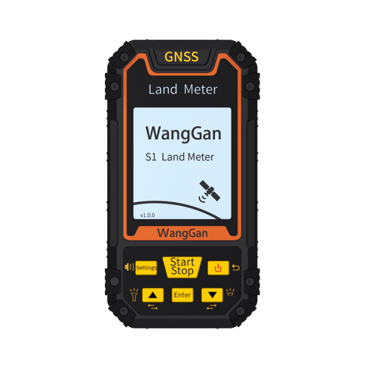
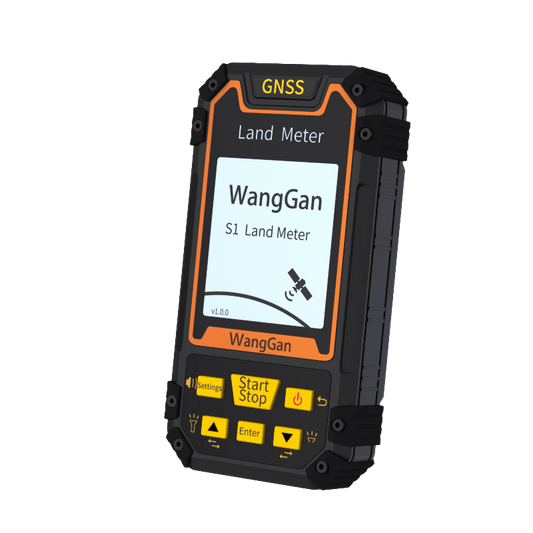
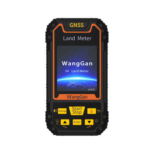
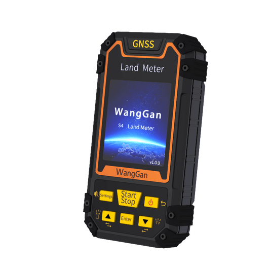
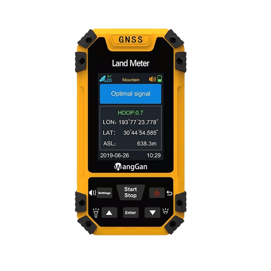
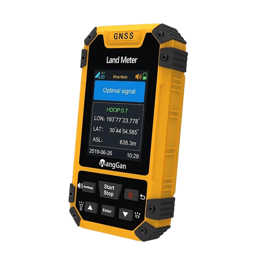
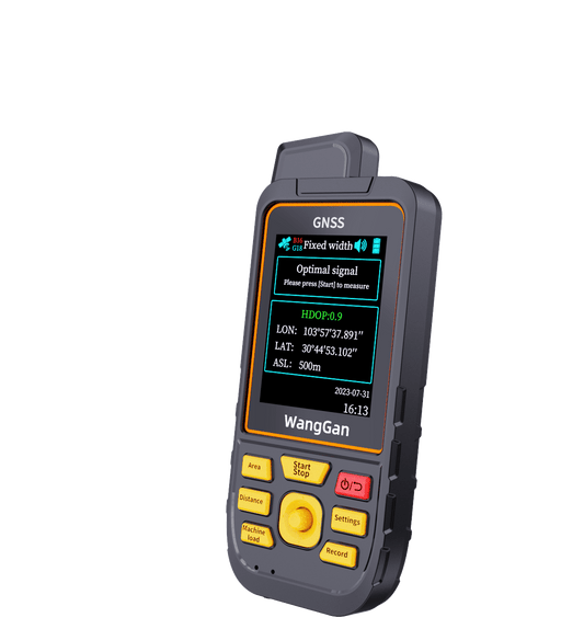
Ready to upgrade your water management process? Check out the Wanggan GPS Land Meter D5E and start measuring smarter today!