Measuring Irregular Land: Why Estimation Is Often Wrong
Share
For regular rectangular fields, estimating land area can be relatively simple. But in reality, many plots are not perfectly shaped. Curved boundaries, uneven edges, hillside plots, orchards, and leased land often make manual calculations much more difficult than expected.
As a result, many land users rely on rough estimates. While this may seem sufficient at first, even small errors can become noticeable when managing multiple fields, calculating input costs, or recording land information.
One common challenge is that irregular land rarely follows straight lines. Measuring only the length and width of a field may not accurately reflect its actual area. In some cases, two plots that look similar in size can have surprisingly different areas once measured properly.
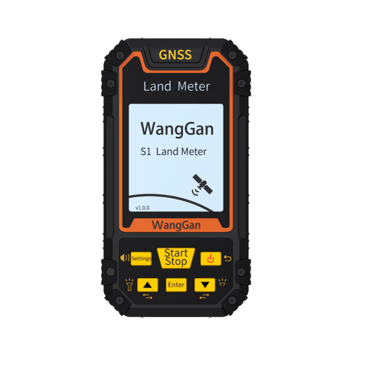
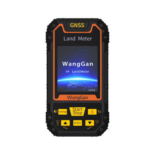
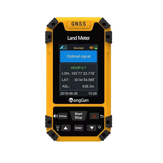
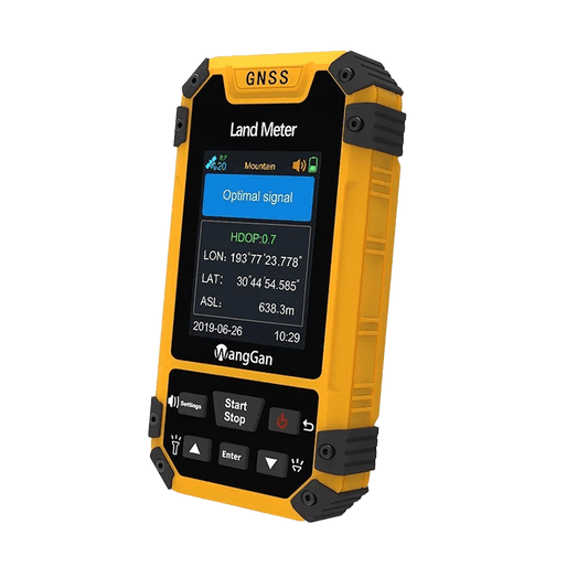
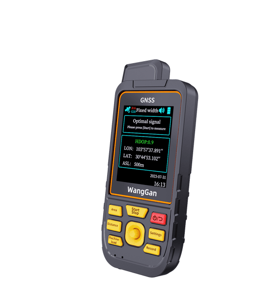
This is where a land measuring device can be helpful. Instead of relying on estimates, users can walk along the field boundary or use multi-point measurement to record key corner points. The device then calculates the area automatically, making it easier to measure land with complex shapes.
For remote farmland or hillside areas, satellite-based measurement also allows users to work without depending on mobile network coverage. Measurement records can be saved for future reference, helping users manage multiple plots more efficiently.
Of course, no measuring tool is completely free from error, and results can vary depending on operating conditions and user practices. However, having an actual measurement is often more useful than relying solely on visual estimation.
In the end, the goal is not to make land measurement complicated. It is simply to make it more practical. For farmers, land managers, and users who regularly work with irregular plots, knowing the actual area can help reduce uncertainty and make everyday decisions a little easier.