Looking for a simple and affordable GNSS tool?
Share
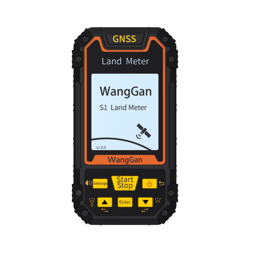
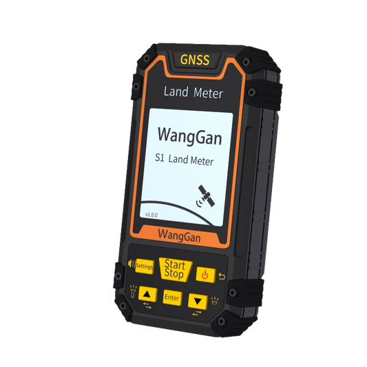
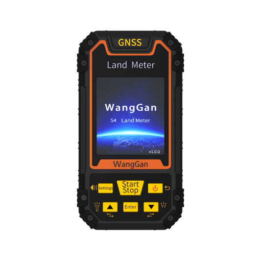
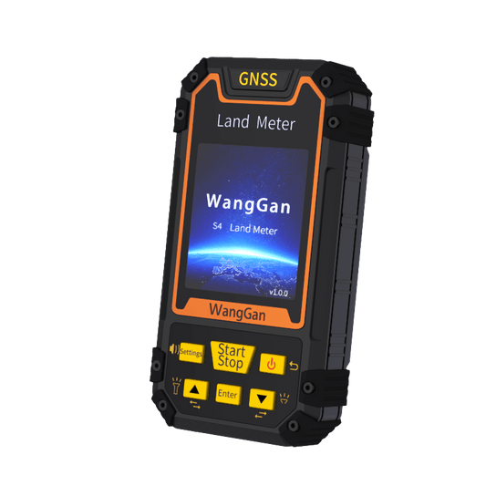
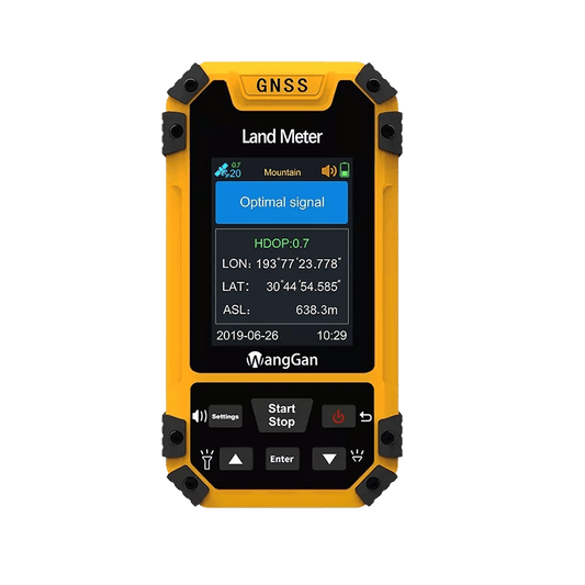
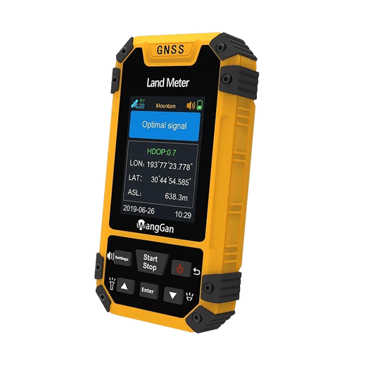
Meet the Locator S8 — a practical device designed for everyday land measurement and basic surveying work. It combines essential positioning and measurement functions in one compact, easy-to-use tool, making field tasks more efficient and straightforward.
Measure area and distance easily, whether for land parcels or basic field layouts. With GNSS positioning and coordinate collection, along with a built-in barometer for altitude data, it provides the key information you need on-site. The device also supports the UTM coordinate system, ensuring compatibility with common mapping and surveying standards.
In the field, Locator S8 offers useful navigation features, including stake-out for locating set points, route navigation for guidance, and track recording to capture movement paths.
For data handling, you can export waypoints, routes, and track files for easy record keeping and further use on PC, helping keep your workflow organized and efficient.
Designed for basic surveying users who need reliable functions without unnecessary complexity, Locator S8 delivers a balanced solution that is simple, practical, and cost-effective.