Land Meter: A Smarter Way to Measure Land Accurately
Accurate land measurement is essential in agriculture, land management, forestry, and field surveying. Traditional methods such as tape measuring or manual calculations are time-consuming, labor-intensive, and often inaccurate. With the development of satellite positioning technology, the land meter has become a reliable and efficient solution for modern land measurement.
What Is a Land Meter?
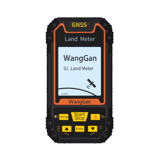
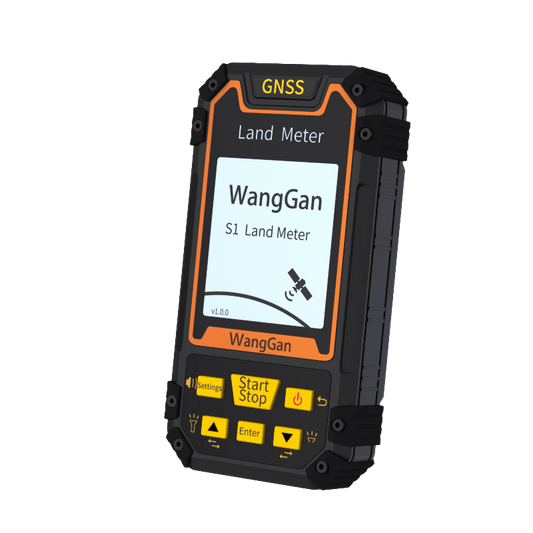
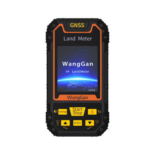
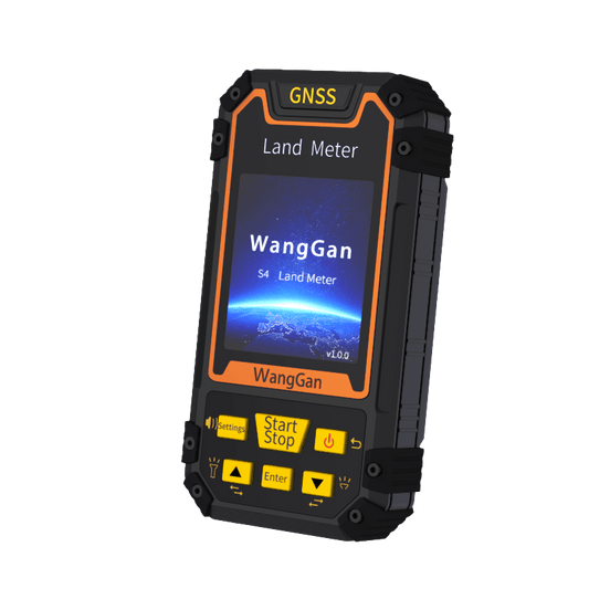
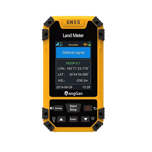
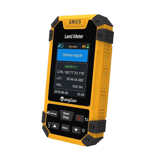
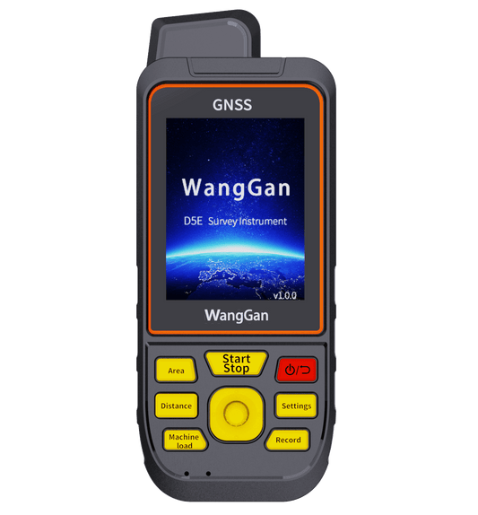
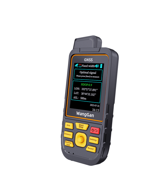
A land meter is a handheld GNSS/GPS-based measuring device designed to calculate land area, distance, and boundary lines by collecting positioning data. Users simply walk along the boundary of the land or mark key points, and the device automatically records the track and calculates the total area and perimeter.
Unlike traditional surveying tools, a land meter requires no professional training, making it easy for farmers, landowners, and field workers to use.
Why Use a GNSS Land Meter?
Modern land meters support multi-satellite positioning systems such as GPS, GLONASS, Galileo, and BeiDou. This ensures stable signal reception and reliable accuracy even in open farmland or remote areas.
Key advantages include:
-
Fast and accurate land area measurement
-
Simple operation with minimal learning curve
-
Portable, handheld design for outdoor use
-
No subscription fees or recurring costs
-
Works without mobile data or offline maps
How Does a Land Meter Work?
Using a land meter is straightforward:
-
Power on the device and wait for signal stabilization
-
Select the area measurement mode
-
Walk along the boundary of the land at a steady pace
-
Stop the measurement to instantly display the land area
Some models also support waypoint collection, route navigation, and distance measurement, making them useful beyond land measurement.
Applications of Land Meters
Land meters are widely used in various industries:
-
Agriculture: farmland measurement, planting planning, yield estimation
-
Land leasing & transactions: accurate area confirmation
-
Forestry: boundary marking and land statistics
-
Fishery & ponds: water area measurement
-
Construction & utilities: preliminary site surveys
Portable, Durable, and Field-Ready
Handheld land meters are designed for outdoor environments. With long battery life, support for power banks or replaceable batteries, and a rugged housing, they can operate reliably in sunlight, heat, and rough field conditions.
Choose the Right Land Meter
Whether you are a farmer, land surveyor, or land management professional, a GNSS land meter helps you measure land faster, reduce errors, and improve efficiency—without complicated equipment or high costs.
Explore our range of Wanggan Land Meters and discover how simple land measurement can be.