Is Your Land Measurement Outdated? Upgrade to GPS Land Meter for Superior Results
Share
In the realm of land measurement, technological advancements have revolutionized traditional methods, offering unprecedented accuracy and efficiency. Gone are the days of relying solely on tape measures and laser rangefinders; the era of GPS land survey devices has dawned, promising superior outcomes across diverse applications.
Traditional tools like tape measures and laser rangefinders have long been stalwarts in the field of land measurement, serving adequately for basic needs. However, they often fall short when precision over larger areas or complex terrain is required. This limitation becomes glaring in today's fast-paced world where construction, agriculture, and environmental management demand precise and scalable measurements.
These devices leverage satellite technology to pinpoint locations with remarkable accuracy, enabling surveyors and land managers to map extensive areas swiftly and precisely. Unlike their traditional counterparts, GPS land survey equipment offer the advantage of real-time data collection and integration, streamlining workflows and reducing human error.
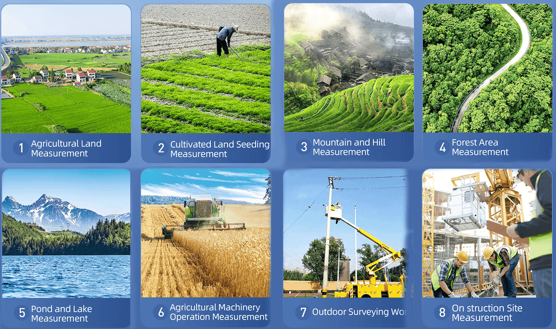
One of the standout features of GPS land meters is their ability to handle vast territories seamlessly. Whether it's delineating property boundaries, mapping terrain features, or surveying for infrastructure projects, these devices excel in providing comprehensive data that traditional tools struggle to match. The precision achieved allows for confident decision-making and planning, essential in today's competitive landscape.
Moreover, the user-friendly nature of GPS devices enhances their appeal. Designed with intuitive interfaces and robust functionalities, they empower users of varying expertise levels to obtain accurate measurements efficiently. This accessibility democratizes land measurement, enabling more stakeholders to participate actively in projects without extensive training.
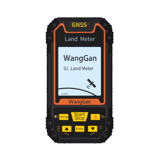
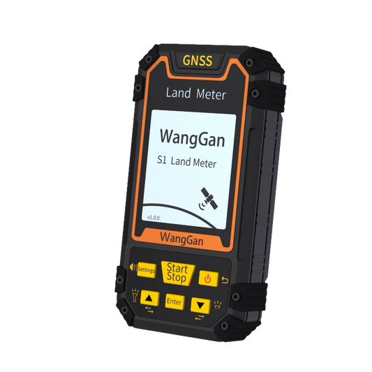
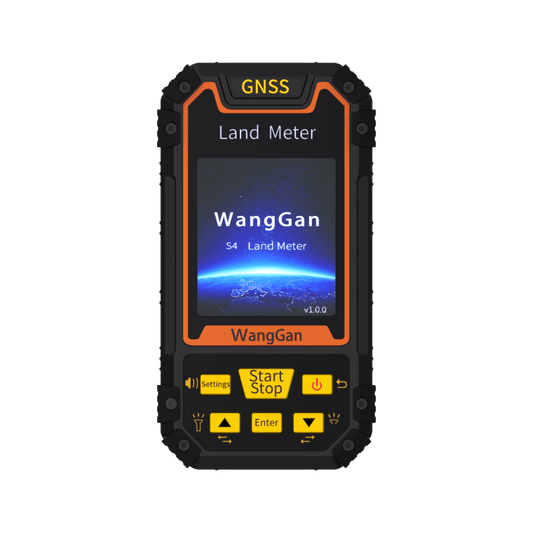
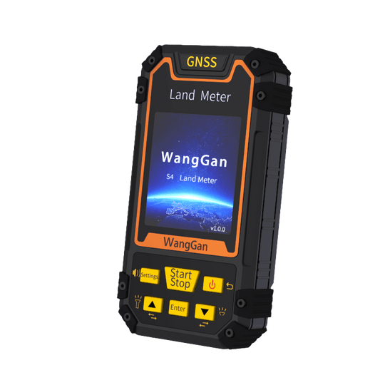
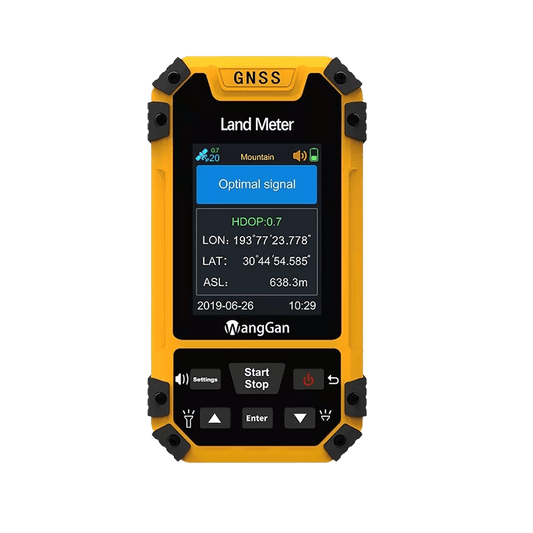
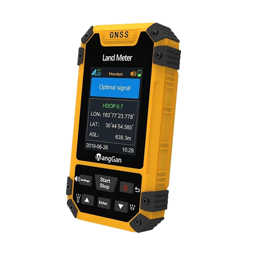
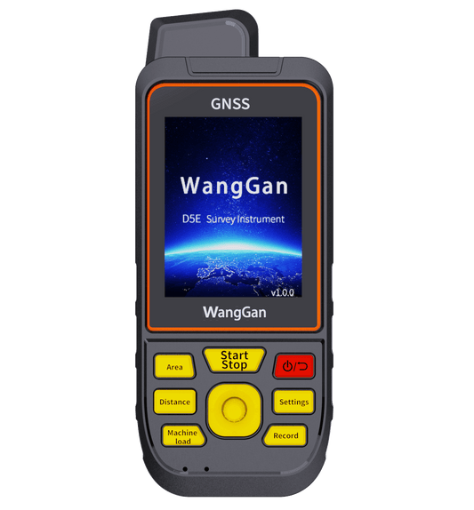
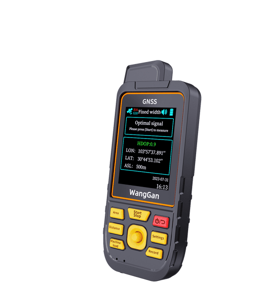
To choose a high-quality handle GPS land meter, you can choose the following products: Our S series, including S1, S3, and S4, are budget-friendly choices accessible to anyone,and S8 offers navigation capabilities. Our latest D series features a more user-friendly system, smoother user experience, and added altitude measurement functionality. Similarly, the D6E model also includes navigation capabilities.


land meter s1 land meter s3 land meter s4 land meter s8
land meter D5E land meter D6E
The benefits of GPS land meters extend beyond mere measurement. They facilitate data analysis, integration with GIS (Geographic Information System) platforms, and compatibility with other digital tools, enhancing the overall efficiency and effectiveness of land management practices.
While traditional tools may still find niche applications, the advantages offered by GPS devices are undeniable. Their ability to deliver precise measurements over large areas, coupled with ease of use and integration capabilities, positions them as indispensable tools in modern land surveying and management.


