How to Easily Measure Land Area with a Land Meter? A Real Case Study
Share
Accurate land area measurement plays a vital role in agricultural operations. From crop planning to irrigation and fertilization management, precise data significantly boosts productivity. However, traditional measurement methods are often time-consuming, labor-intensive, and prone to errors. Today, with the help of intelligent land meters, measuring land has become more efficient and user-friendly. Let’s dive into a real-life story to see how it works in practice.
User Story: Ravi’s Efficient Measurement Experience
Ravi, a farmer from Chiang Mai, Thailand, manages a sprawling rice field covering several acres. His farmland borders a river, with irregular boundaries and narrow pathways separating different sections. In the past, whenever Ravi needed to measure his land for fertilization or planting, he had to hire two or three workers to use basic tools. The process was not only slow but also yielded inconsistent results.

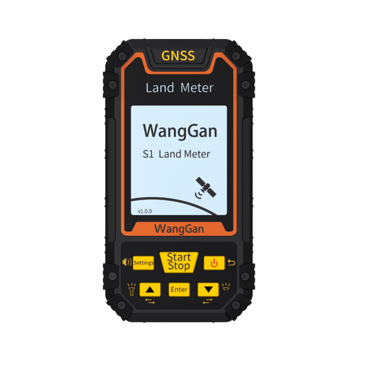
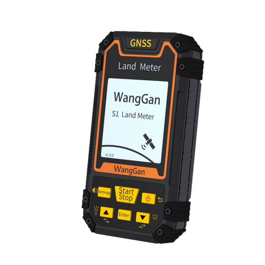
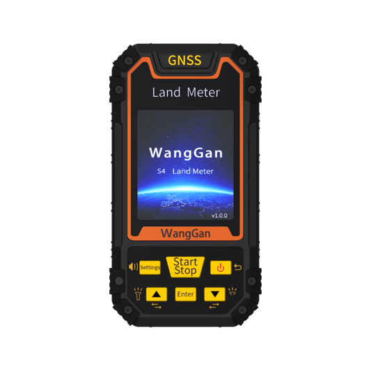
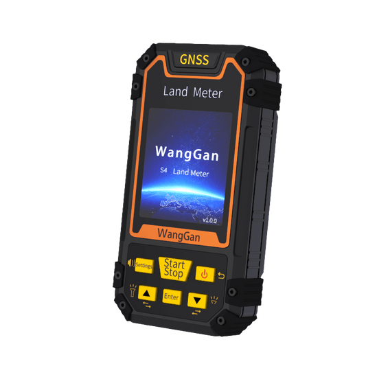
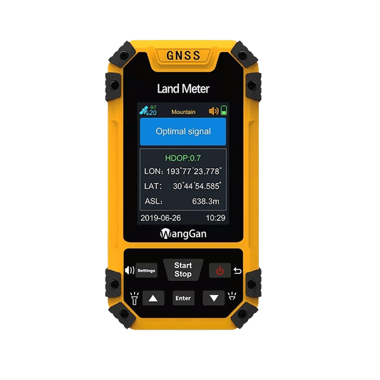
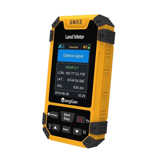
A few months ago, Ravi learned about the WangGan S4 land meter, a device designed specifically for agricultural measurements. Intrigued by its simplicity and efficiency, he decided to give it a try. Here’s how Ravi used the device:
1. Quick Positioning
Ravi brought the S4 to the edge of his field and turned it on. Within seconds, the device completed GPS positioning and displayed his current location on the screen.
2. Walking the Boundary
Holding the S4 in hand, Ravi walked along the boundary of his field. Whether navigating narrow farm paths or uneven terrain near the river, the device accurately tracked his route and displayed real-time progress. Even when trees partially obstructed the signal, the land meter maintained consistent accuracy and performance.
3. Viewing Measurement Results
After Ravi returned to his starting point, the S4 automatically calculated the total area of his rice field, showing it to be 15.24 mu (approximately 1.02 hectares). This was significantly different from his previous estimates, giving him greater confidence in planning fertilization and irrigation. Additionally, Ravi used the device’s data storage function to save the measurement results for future reference, eliminating the need for manual records.

The Benefits of Using a Land Meter
Ravi’s story highlights the key advantages of using the S4 land meter:
1. Easy to Use
The device requires no technical expertise. Users can simply walk along the land boundary to complete the measurement, making it highly suitable for daily use by farmers.
2. High Precision and Efficiency
With GPS technology, the S4 delivers meter-level accuracy even in challenging terrains, making it ideal for irregularly shaped fields.
3. Portable and Durable
Lightweight and easy to carry, the S4 offers long battery life and performs well in various environments, including rice fields, orchards, and hilly areas.
4. Convenient Data Management
After measuring, users can view or save the results directly on the device, ensuring secure and hassle-free data management.

Feedback from Real Users
Ravi was highly impressed with the S4 land meter. He shared, “In the past, it took several people an entire day to measure my field. Now, I can do it alone in just 30 minutes. The data is accurate, and I can save it easily. This device has been a game-changer for me!”
Ravi also plans to use the S4 to measure his other fields and recommend it to his neighbors. He believes the land meter not only saves time and labor but also provides reliable data for better farm management.
Conclusion
The intelligent S4 land meter has revolutionized how farmers like Ravi measure and manage their land. By saving time and effort while delivering precise results, it has become an indispensable tool for modern agriculture. If you’re looking for a reliable land measurement device, the S4 land meter is undoubtedly an excellent choice!
