How Powerful is the Waypoint and Stakeout Feature of a Handheld GPS Navigator?
Share
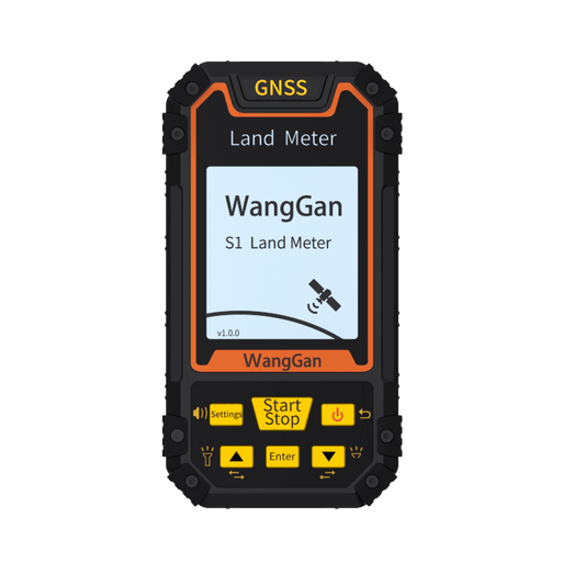
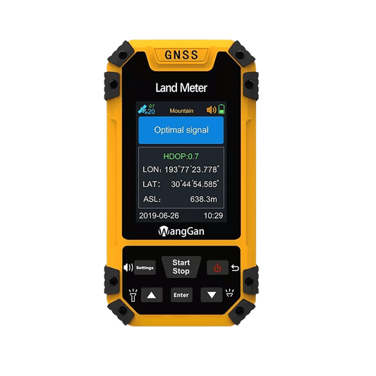
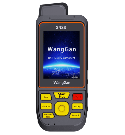
When it comes to outdoor navigation, a compact handheld GPS navigator is more than just a device that tells you where you are—it’s a powerful tool designed to enhance efficiency in various industries such as surveying, agriculture, construction, and land management. One of its standout capabilities is the waypoint collection and stakeout function, which allows users to accurately record, manage, and revisit specific locations with ease.
Accurate Waypoint Collection
A high-quality handheld GPS navigator enables users to collect waypoints with meter-level precision. Whether you are mapping land boundaries, tracking assets, or conducting field research, you can easily mark important locations and save them for future reference. The ability to store multiple waypoints makes it an essential tool for professionals who need to revisit specific spots, such as farmers managing crop fields, engineers laying out construction sites, or environmentalists tracking wildlife movement.
Stakeout Function for Precision Work
The stakeout feature is what truly sets advanced GPS navigators apart. Once waypoints have been recorded, the stakeout function helps users navigate back to exact predefined locations. This is particularly useful for applications like fence installation, irrigation system planning, property boundary marking, and infrastructure layout. Instead of relying on manual measurements and estimates, the GPS device guides you step by step toward your target coordinates, reducing errors and improving work accuracy.
Enhancing Field Efficiency
The combination of waypoint collection and stakeout not only improves precision but also saves time and effort. Traditional methods of marking and revisiting locations often involve manual measurements, which can be time-consuming and prone to human error. With a GPS navigator, professionals can complete tasks faster and more efficiently, even in challenging terrains or remote locations where landmarks may be limited.
Reliable Performance in Any Environment
Modern handheld GPS devices are built to withstand harsh outdoor conditions, including rain, dust, and extreme temperatures. This makes them suitable for use in forests, deserts, mountains, and construction sites. Many models also support multiple satellite systems (GPS, GLONASS, BeiDou, Galileo) to ensure a strong and stable signal, even in areas with weak reception.
Conclusion
A handheld GPS navigator with a waypoint and stakeout function is a game-changer for professionals who rely on precision navigation. Whether you are a surveyor, farmer, engineer, or outdoor enthusiast, this powerful feature ensures that you can mark, locate, and return to important points with unmatched accuracy and efficiency.
