How Inaccurate Are Traditional Methods Like Walking and Visual Estimation When Measuring Land?
For many farmers and landowners, measuring land by walking the boundary, counting steps, or estimating by eye is still a common practice. These methods have been used for decades and feel simple and familiar. But the real question is: how accurate are they?
The answer may surprise you.

1. Step Counting: Simple, But Highly Unreliable
Step measurement assumes that every step is the same length. In reality, step length changes constantly due to:
-
Uneven ground
-
Slopes and hills
-
Fatigue
-
Different walking speeds
Even a small error of 10–20 cm per step can turn into a huge area mistake after walking around an entire field. For a medium-sized farmland, this can easily result in an area error of 5%–15%, sometimes even more.

2. Visual Estimation: The Most Dangerous “Experience”
Many experienced farmers believe they can “estimate” land area just by looking. While experience helps, the human eye is easily fooled by:
-
Irregular field shapes
-
Curved boundaries
-
Sloped or terraced land
A field that looks like 10 acres may actually be 8.5 or 11 acres. This kind of mistake can directly affect:
-
Land rental prices
-
Crop planning
-
Seed and fertilizer costs

3. Slopes Make Errors Much Bigger
Traditional methods measure land as if it were flat. But farmland is rarely flat.
On sloped land, walking distance is longer than the real horizontal area, which means the final area calculation is often seriously wrong.
In hilly regions, errors caused by slope can increase total measurement inaccuracy by another 10% or more.

4. Small Errors = Big Financial Losses
Let’s look at a simple example:
If you rent farmland at $100 per acre, and your measurement is off by just 1 acre, that’s $100 lost every season. Over multiple years, the loss becomes much larger.
In commercial farming, measurement errors directly mean money loss.
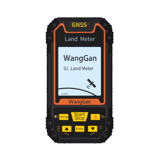
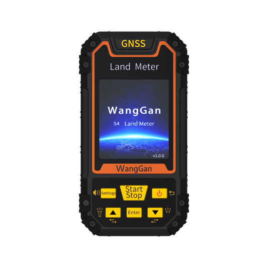
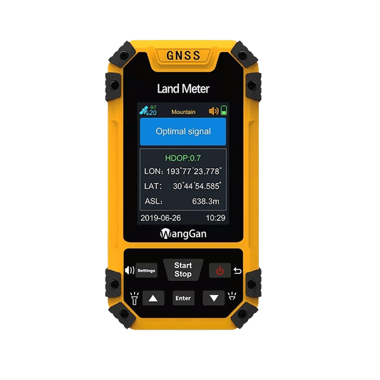
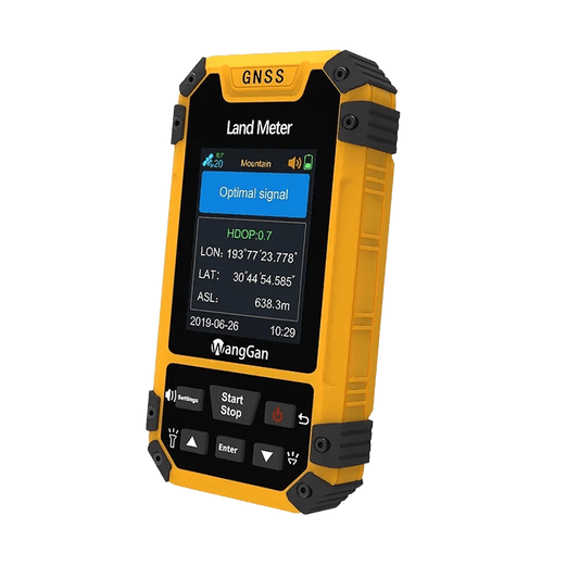
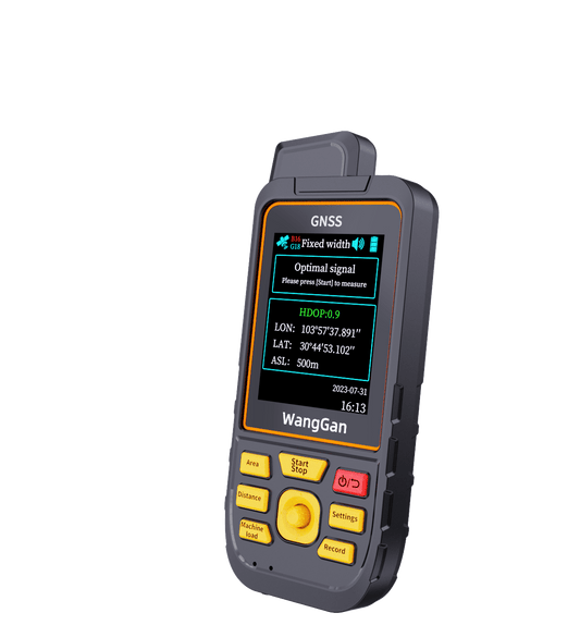
5. Why Professional Land Measurement Tools Matter
Modern land meters use GNSS multi-satellite positioning, digital mapping, and intelligent area calculation. Instead of guessing, you simply walk around the land once, and the device:
-
Records precise coordinates
-
Automatically calculates area
-
Reduces human error
-
Works even on irregular or sloped land
This makes land measurement faster, more accurate, and more reliable than any traditional method.
Conclusion: Tradition Is Familiar, Accuracy Is Profitable
Walking, visual estimation, and old methods may feel convenient, but they come with hidden costs. In today’s agriculture, accuracy is not a luxury—it is a necessity.
If you manage land, measure land, or earn from land, using the right tool is the smartest investment you can make.