Spring Planting Season is Coming! Let‘s Measure Your Farmland with a GPS Land Meter
Share
As spring arrives, farmers begin preparing for a new planting season. One crucial step in this process is knowing the exact size of your farmland. For many novice farmers, estimating farmland area can be a challenge, making it difficult to determine the right amount of seeds, fertilizers, and other agricultural inputs needed for optimal crop growth.
Fortunately, with the help of a GPS land meter, measuring farmland has never been easier. In this guide, we will introduce three simple and effective ways to measure your farmland accurately using a GPS land meter.
1. Measuring Flat Farmland with Normal Area Mode
If your farmland is relatively flat with minimal elevation changes, the simplest way to measure it is by using the normal area mode of the GPS land meter. Simply activate the device and walk around the perimeter of your farmland. The GPS land meter will automatically record the path and calculate the total area in real time. This method is quick, easy, and highly accurate, making it ideal for most farmland types.
2. Measuring Sloped Farmland with Slope Recognition Mode
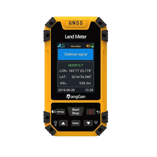
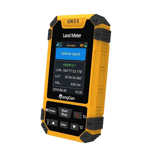
If your farmland is located on a hillside or uneven terrain, traditional area measurement methods may underestimate the true size of your land. To address this issue, many advanced GPS land meters, such as the Wanggan Land Meter, feature an automatic slope recognition measurement mode. By enabling this mode, the device can accurately calculate the area of sloped farmland by factoring in elevation changes. Simply walk around the boundary of your land, and the land meter will automatically adjust for the slope to provide an accurate measurement.
3. Machine Load Measurement for Agricultural Operations
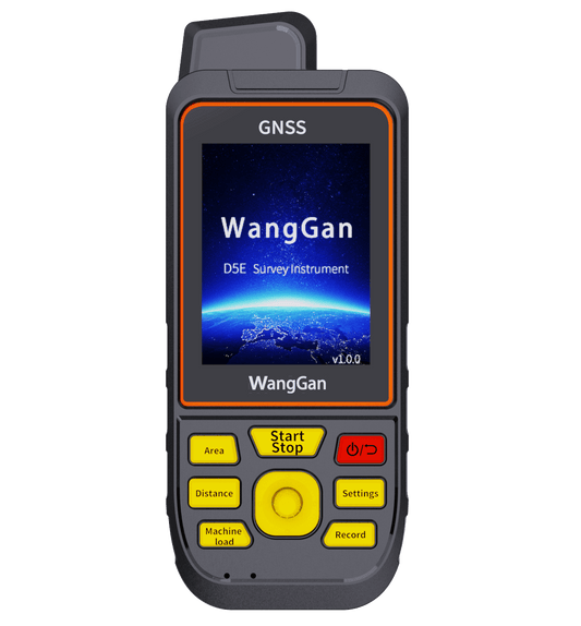
For large-scale farmers who use agricultural machinery, manual measurement may not always be practical. In this case, the machine load measurement mode is the best option. The GPS land meter can be mounted on a combine harvester, tractor, or other agricultural equipment. As the machinery operates, the land meter continuously measures and calculates the worked area in real time. This feature allows farmers to track the exact amount of land being cultivated, harvested, or sprayed, ensuring precise management of agricultural activities. Additionally, the collected data can be easily transferred to a computer for storage, analysis, and future planning.
How to Choose the Right GPS Land Meter?
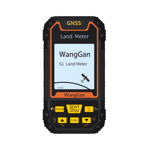
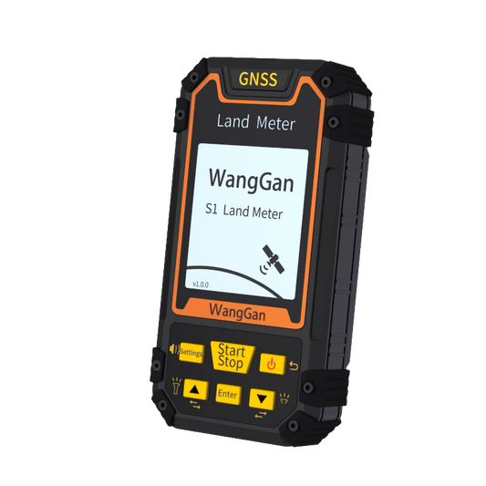
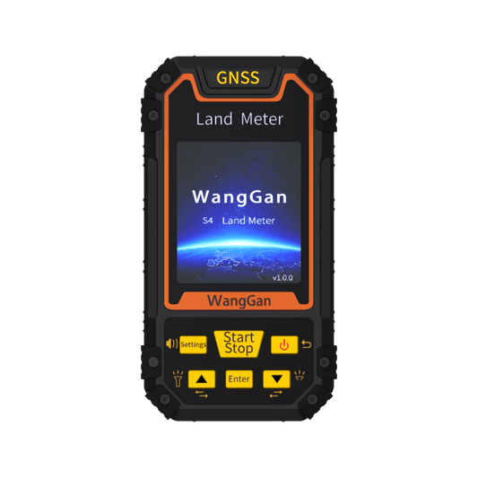
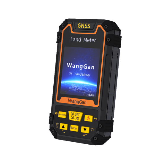
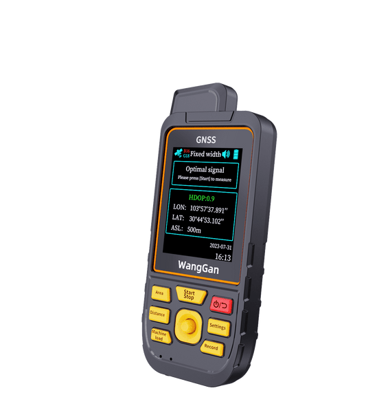
When selecting a GPS measurement device, it is important to choose one that is accurate, reliable, and packed with useful features. We highly recommend the Wanggan Land Meter, a professional-grade GPS measuring device that offers:
- Normal area measurement mode for flat farmland
- Automatic slope recognition mode for hilly terrain
- Machine load measurement mode for agricultural machinery
- Distance measurement for precise field planning
- Built-in flashlight for nighttime or low-light conditions
- Altitude, longitude, and latitude measurement for better location tracking
- Positioning and navigation functions (available on select models)
With these powerful functions, the Wanggan Land Meter ensures that farmers can efficiently manage their land, improve productivity, and make informed planting decisions. Whether you are a small-scale farmer or managing a large agricultural operation, investing in a high-quality GPS land meter can save you time, money, and effort.
Start your planting season the right way—equip yourself with a Wanggan Land Meter and measure your farmland with confidence!
