Is the GPS land meter accurate with a smartphone measuring app? Professional measuring devices vs. smartphone measurement apps
Share
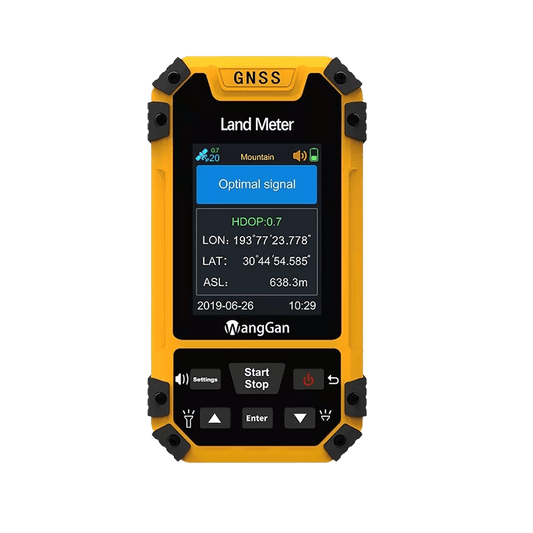
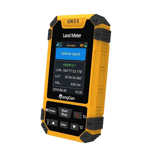
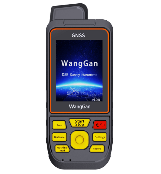
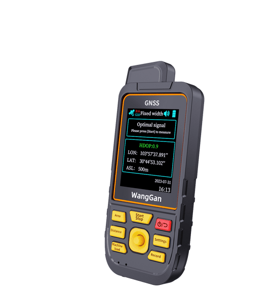
The area land Meter, also known as an area measurement equipment, accurately measures distances, perimeters, and areas of land and water. It is widely used in agriculture, forestry, water bodies, road construction, machinery operations, and field surveys.
When measuring land area, some people opt for mobile apps, while others prefer professional land meters. How should you choose between a professional land meter and a mobile app?
**Multi-Satellite vs. Single-Satellite Systems**
Professional acreage meters use multi-satellite positioning systems and high-precision algorithms to measure distances, perimeters, and areas with greater accuracy and smaller errors. In contrast, mobile apps rely on the phone's GPS system, which is designed for civilian navigation and has lower accuracy and higher error margins. Measurement errors with mobile GPS can range from tens to over a hundred meters.
In high-value land measurement scenarios, even small errors can be amplified, leading to significant potential losses. 
**Multiple Measurement Modes vs. Single Mode**
Professional land meters offer multiple measurement modes to adapt to various terrains and environments, including options for slope, flat surfaces, handheld, and vehicle-mounted measurements. 
Mobile apps, however, are limited to handheld measurements on flat surfaces, restricting their application to less complex terrains.
For precise and critical area measurements, it is recommended to use a professional acreage land meter.
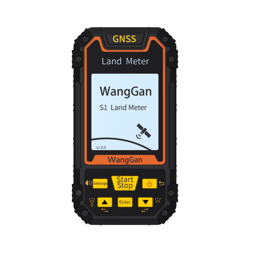
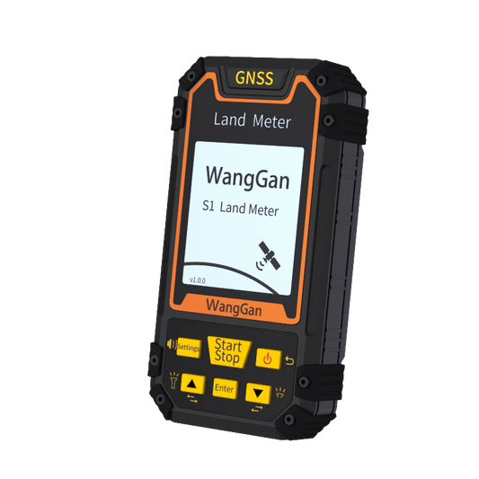
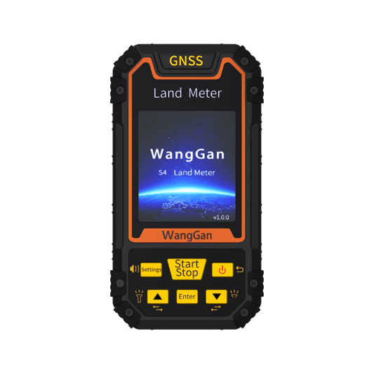
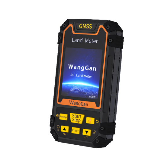
Wanggan Land Meter is the flagship product of Wanggan Technology Co., Ltd. It primarily uses GNSS systems and barometers to measure land area, offering simplicity, ease of use, and high precision. Wanggan Technology Co., Ltd., established in 2014, focuses on the development and sale of GPS equipment and is a world-leading provider of intelligent GPS land measurement instruments and solutions.
