Enhancing Garden Design Efficiency with GPS Land Survey Tools
Share
As a professional land survey consultant, I often find myself exploring innovative ways to streamline and optimize various land-related tasks. Recently, a friend approached me with a unique challenge: redesigning his garden and constructing a new pathway without a clear understanding of the required materials. This dilemma called for an efficient solution that combines accuracy with ease of use.
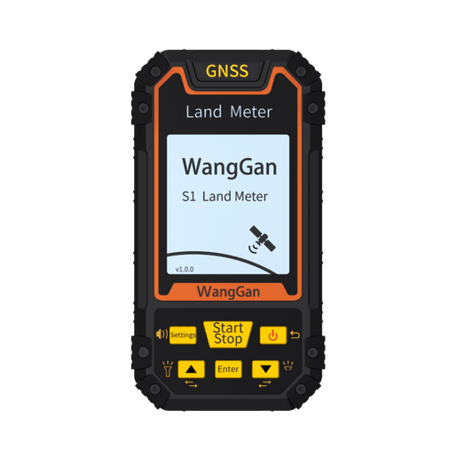
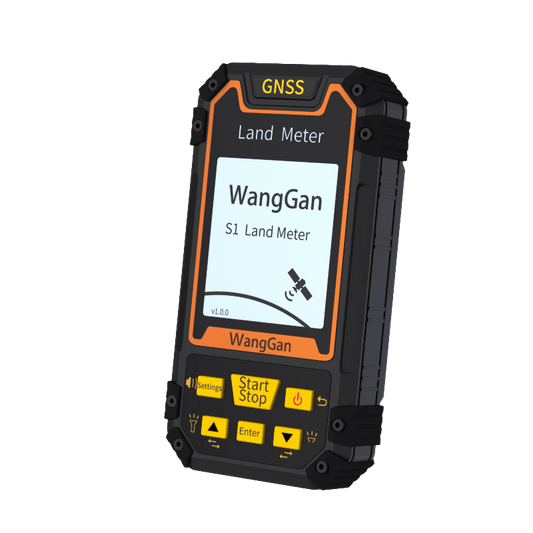
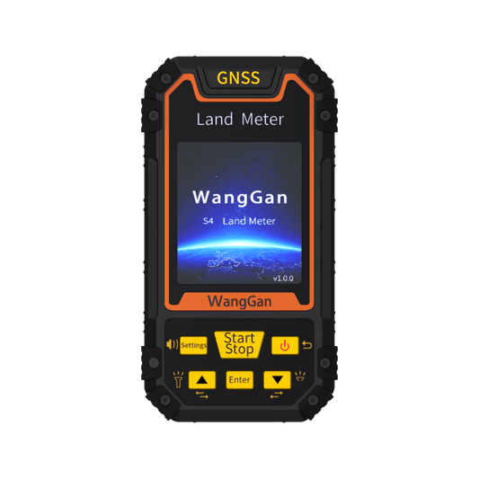
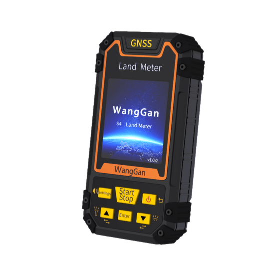
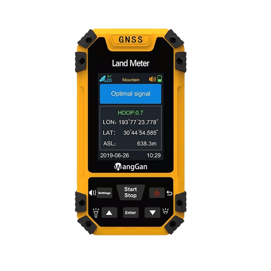
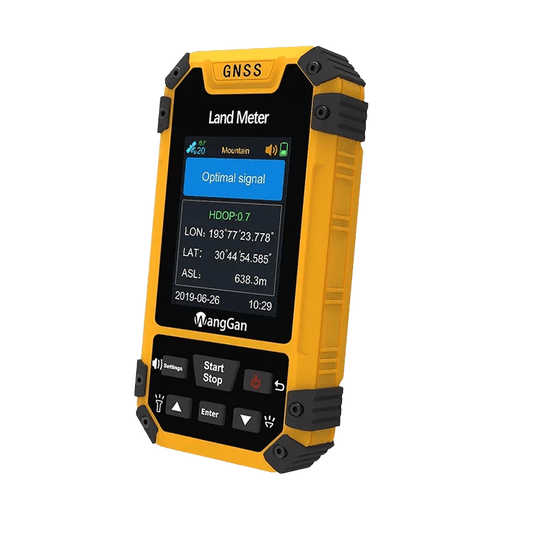
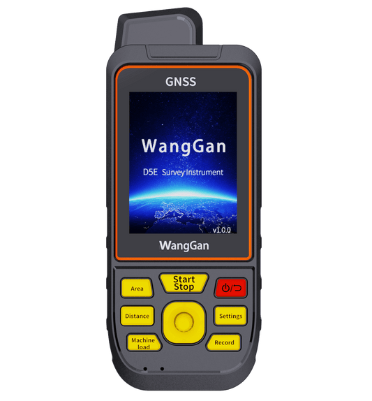
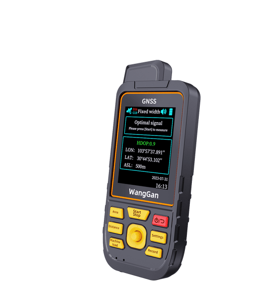
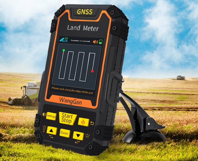
In response to his query, I recommended the use of handheld GPS land survey equipment—a modern marvel that revolutionizes the way we measure and plan outdoor spaces. Unlike traditional methods that are time-consuming and often prone to errors, GPS land survey tools offer a precise and straightforward approach.

Precision and Efficiency
The GPS land survey equipment operates by simply walking around the perimeter of the area to be measured while holding the device. It captures accurate measurements of the land area, and with predefined settings, it can also calculate the estimated material costs based on the measured area. This capability not only ensures precision but also eliminates the guesswork involved in estimating material needs for projects like garden pathways.
Cost-Effectiveness
One of the most significant advantages of using GPS land survey tools is their cost-effectiveness. By accurately determining the required materials upfront, my friend was able to avoid unnecessary expenses associated with overestimating or underestimating material quantities. This efficiency translates into substantial savings, reducing the need for additional labor costs that would typically arise from incorrect measurements or planning.
Ease of Use and Accessibility
Another appealing feature of GPS land survey equipment is its user-friendly design. With minimal training, anyone can effectively use these tools to measure land areas and plan construction projects. This accessibility empowers homeowners, contractors, and designers alike to take charge of their projects and make informed decisions based on accurate data.
Conclusion
In conclusion, the integration of GPS land survey tools into garden design and landscaping projects marks a significant advancement in efficiency and accuracy. By leveraging these technologies, we not only simplify the measurement process but also enhance the overall planning and execution of outdoor projects. Whether you're a professional landscaper or a homeowner embarking on a DIY project, GPS land survey equipment proves to be an invaluable asset, saving both time and money while ensuring precise results.
Embracing such innovations underscores the evolution of land surveying practices, where precision meets practicality to deliver exceptional outcomes. As we continue to explore new applications and advancements in land survey equipment, the future holds promise for even more efficient and sustainable solutions in landscape design and beyond.
