Different Land, Different Measurement Methods
Share
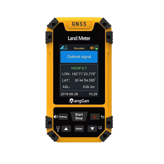
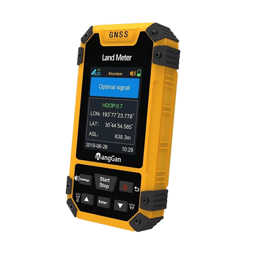
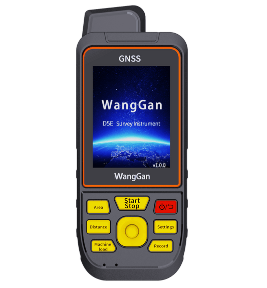
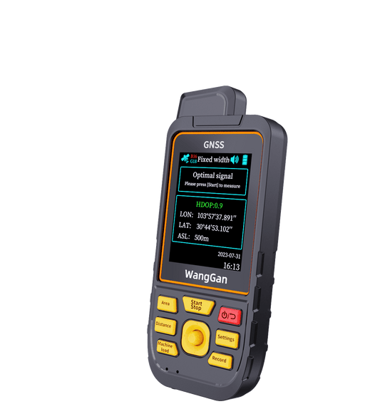
Instead of using only one measuring method for every situation, the device includes multiple area measurement modes designed for different field conditions.
Regular Fields
For standard plots, users can simply walk along the boundary and the device calculates the area automatically.
Vehicle Measurement
During agricultural work, the device can also be placed on machinery for vehicle-mounted measurement. While driving at a steady speed, the screen displays a real-time track line and current measured area.
Long & Narrow Land
For equal-width strips or rectangular land, users only need to measure part of the field to estimate the total area more efficiently.
Hillside & Mountain Areas
Slope and mountain modes are useful for land with elevation changes that are difficult to measure manually.
Irregular Land
For irregular plots, multi-point measurement allows users to collect corner points and calculate the final area more clearly.
Built for Real Field Conditions
Many land measurement problems are actually very practical ones:
· Irregular land shapes
· Multiple plots that are difficult to manage
· Remote areas without network coverage
· Unclear machine working area during field operations
The Wanggan Land Meter uses satellite positioning, so it can continue measuring without relying on internet signals.
Under typical conditions, accuracy is around ±0.003 acres for smaller plots and about ±1% for larger areas, suitable for most everyday agricultural and land management work.
Simple Tools Often Save the Most Time
The device also supports area records, track display, voice prompts, and data export, helping users manage measurement results more conveniently after fieldwork.
In many cases, land measurement doesn’t need to be complicated — it simply needs to be practical, reliable, and easy to use in real working environments.