Can Land Be Measured Accurately Without Internet Access?
Share
Many people assume that land measurement, positioning, and navigation must rely on mobile networks or internet connectivity. This assumption comes naturally in an age where maps, apps, and cloud services dominate everyday use. However, in real-world measurement scenarios such as farmland, forests, hills, grasslands, and remote rural areas, network coverage is often weak or completely unavailable. Ironically, these are precisely the environments where accurate land measurement is most needed. The question then arises: can land still be measured accurately without internet access? The answer is yes, and in fact, professional land measurement has never depended on the internet in the first place.
Satellite Positioning, Not Internet, Is the Foundation of Land Measurement
The fundamental technology behind land measurement is satellite positioning rather than mobile networks. Modern land meters are based on GNSS, or Global Navigation Satellite Systems, including GPS, BeiDou, GLONASS, and Galileo. These satellite systems continuously broadcast time and positioning signals from space to the Earth’s surface. A land meter does not transmit data back to satellites or servers. It simply receives these signals, calculates time differences, and determines its precise position on the ground. This entire process is completed locally on the device and does not require a SIM card, mobile data, or Wi-Fi. Internet connectivity only supports secondary functions such as map display or data synchronization, while the core measurement process remains fully offline.
How Offline Land Measurement Works in Practice
When measuring land without internet access, the working principle remains both simple and reliable. As the user walks along the boundary of a plot, the land meter continuously records changes in geographic position using satellite signals. These recorded positions form a closed boundary that accurately reflects the true shape of the land. Based on this boundary, the system calculates the area using geometric and geodetic algorithms stored locally. Because all calculations are performed directly on the device or paired phone, measurement results are generated instantly, even in environments with no network coverage at all.
Why Offline Measurement Can Be More Reliable
Offline measurement is not a compromise in accuracy; in many cases, it is an advantage. Without reliance on network stability, the measurement process is unaffected by signal drops, latency, or transmission failures. This makes satellite-based offline measurement especially suitable for agriculture, forestry, land management, and infrastructure projects where continuity and reliability are essential. Measurement data can be stored locally and exported later once a connection becomes available, ensuring both operational flexibility and data integrity.
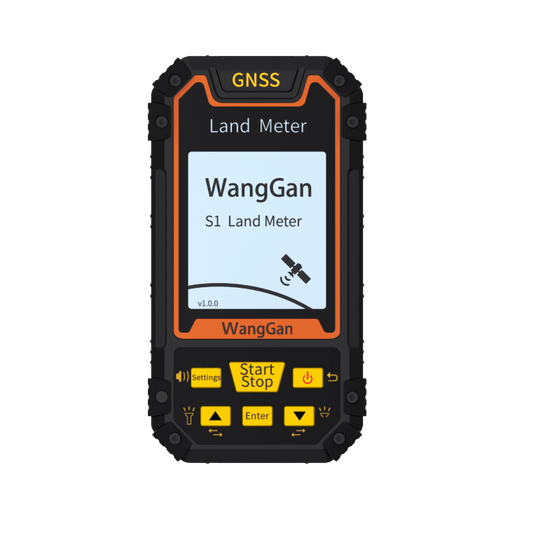
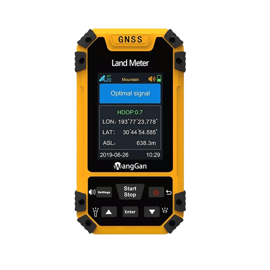
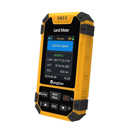
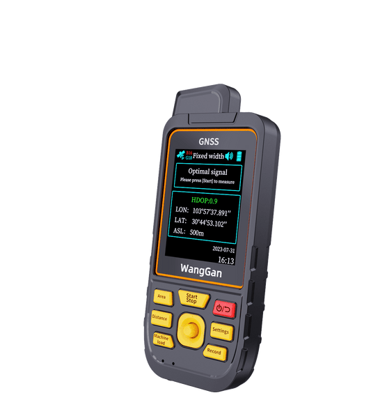
Wanggan Land Meter: Designed for No-Network Environments
The Wanggan Land Meter is designed specifically for real-world measurement conditions where internet access cannot be guaranteed. It relies on multi-constellation GNSS technology to detect position changes with high stability and consistency. By focusing on satellite-based movement recognition rather than network-based estimation, the device delivers accurate land area results in fields, mountains, and remote regions where smartphones and online tools often fail. Its practical design allows both professionals and non-specialists to measure land confidently without technical complexity.
Conclusion: Accuracy Depends on Satellites, Not Signal Bars
Accurate land measurement is determined not by the strength of a network signal, but by how precisely position changes are captured and processed. The ability to obtain reliable results while standing in an area with no mobile coverage is what defines a truly professional measurement tool. Measuring land without internet access is not a limitation; it is the most fundamental and dependable approach to land measurement. With satellite technology at its core, the Wanggan Land Meter brings this principle into a modern and accessible solution.