Calculating hillside areas with flat‑plane projection won’t give you the real surface area ⛰️❗
Share
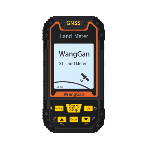
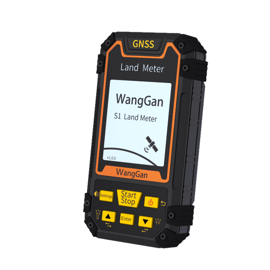
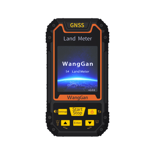
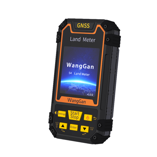
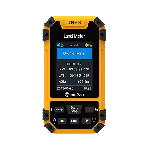
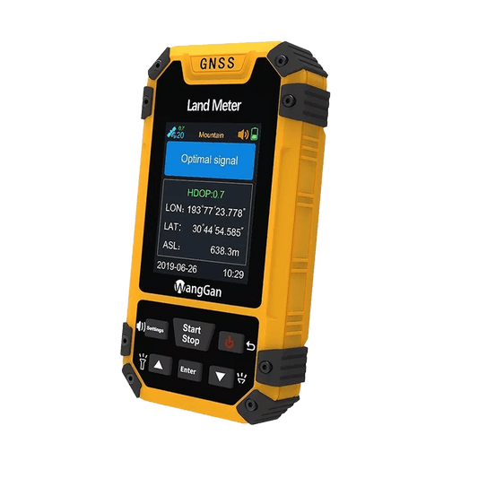
Calculating hillside areas with flat‑plane projection won’t give you the real surface area ⛰️❗ For a 15‑degree slope, results can under‑read by around 3.5% — that’s 7 acres out of every 200 acres mismatched. Numbers only stored on‑screen cannot be used for hand‑over or filing. The WangGan S4 solves these pain points ✅
• 📐 Intelligent slope & mountain measurement — calculates along actual terrain, no flat‑plane projection • 💾 Direct export: KML, DXF, GPX, CSV, JPG • 📊 Barometric altimeter — no separate height meter required • 🖥️ Color display · 🔋 18‑hour battery runtime