Are You Really Measuring Your Land Accurately?
Share
Whether it's for farming, land leasing, or field planning,
one simple task always comes first: measuring the land.
But in reality, many people still struggle with it:
- Estimating by walking? Too inaccurate
- Using tape or rope? Time-consuming and exhausting
- Basic tools? Unstable results every time
- No data saved? All work lost after measuring
And here’s the real issue:
A small measurement error can lead to big financial losses.
Traditional Methods Are Slowing You Down
What worked in the past no longer meets today’s needs.
Manual measurement is:
- Inefficient
- Labor-intensive
- Highly dependent on experience
For larger fields or irregular land shapes,
the difficulty — and the chance of error — increases significantly.
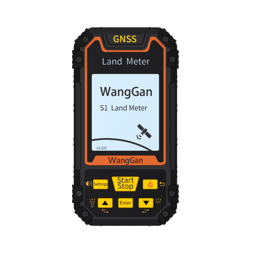
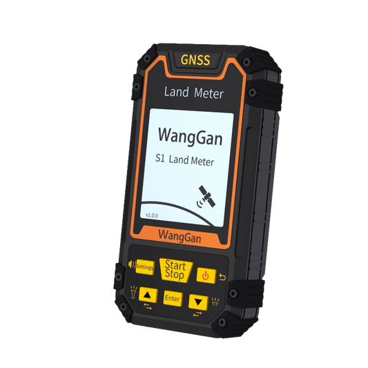
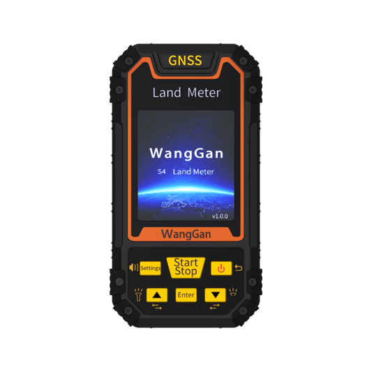
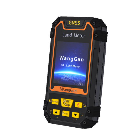
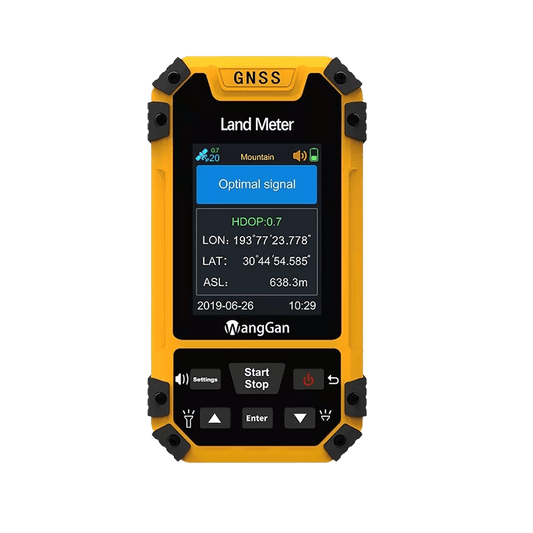
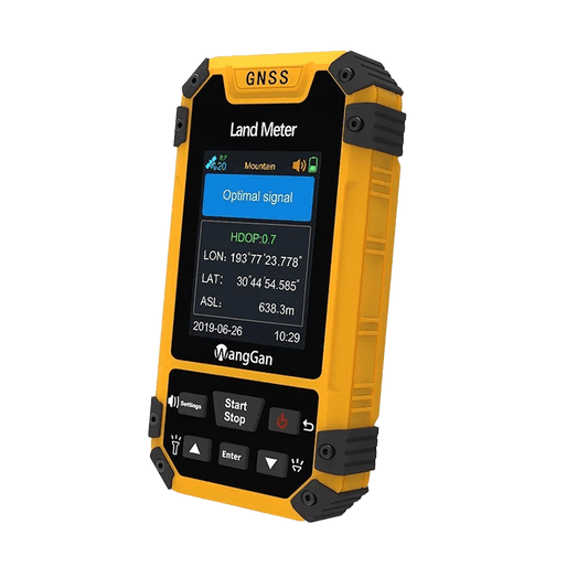
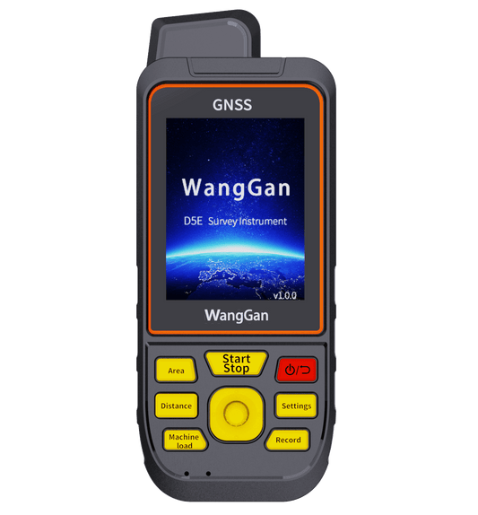
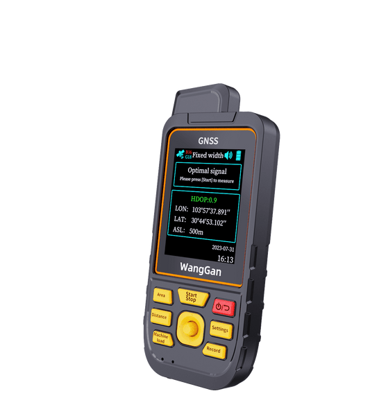
A Smarter Way to Measure Land
This is where a modern land meter makes all the difference.
With GNSS positioning technology, you can:
✔ Walk the boundary — area calculates automatically
✔ Get stable and reliable positioning
✔ Measure even without internet (offline support)
✔ Save and export data instantly
✔ Carry it easily — compact and field-ready
No complicated setup. No repeated work.
Just simple, accurate measurement.
Designed for Real Field Work
From agriculture to land management, a land meter fits naturally into daily work:
- Farming & planting
- Land leasing & transfer
- Field surveying
- Garden & landscape planning
- Construction preparation
Wherever land needs to be measured,
efficiency and accuracy matter.
Measure Once, Trust the Result
Time, labor, and accuracy —
you shouldn’t have to compromise.
With the right tool, measuring land becomes:
faster, easier, and far more reliable.