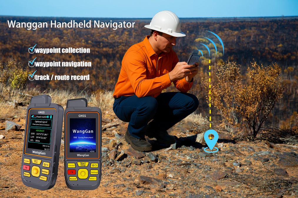
Application Value of the Wanggan Handheld Navigator in Field Data Collection
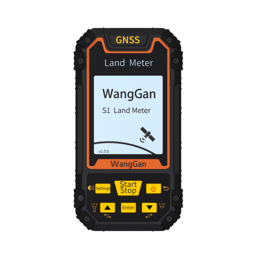
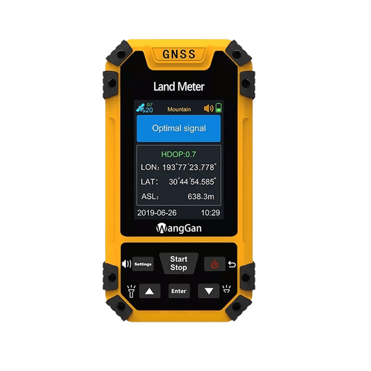
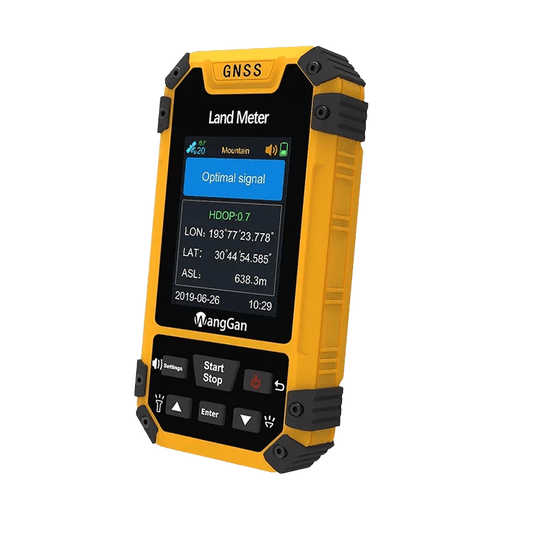
The Wanggan Handheld Navigator is a high-precision positioning device designed for professional outdoor applications. Equipped with multi-GNSS support (GPS, BeiDou, and more), real-time track recording, and large-capacity data storage, it is widely used for various types of field data collection. Easy to operate, portable, and rugged, it performs reliably even in harsh environments—making it an ideal tool for on-site fieldwork.
📍 Use Case 1: Geological Exploration
In geological surveys, field teams need to accurately record the distribution of mineral resources, rock formations, and terrain features. The Wanggan Handheld Navigator allows users to mark sample points, map exploration routes, and log travel tracks—ensuring every data point is precisely georeferenced for future analysis.

💧 Use Case 2: Water Source Monitoring
For water quality monitoring projects involving rivers, lakes, or reservoirs, staff must regularly collect samples from fixed locations. With the handheld Navigator, users can quickly return to previous sampling points, ensuring spatial consistency for long-term monitoring, while recording essential data such as time and location for traceability.
🌾 Use Case 3: Agricultural Surveys
In agricultural zones, tasks such as soil analysis, crop condition assessments, or pest inspections require accurate spatial data. The Navigator assists agricultural technicians with zonal recording, route planning, and data positioning—supporting precision farming operations.
🛤 Use Case 4: Pipeline Inspection and Infrastructure Management
In both urban and rural areas, the device is a valuable tool for pipeline inspections, power line patrols, and telecom facility checks. It helps field personnel accurately log inspection routes and infrastructure locations, reducing missed spots and improving inspection efficiency.
🏞 Use Case 5: Environmental Protection and Forestry Surveys
In ecological reserves, the device supports biodiversity tracking, forest disease monitoring, and land boundary mapping. With reliable positioning and simple photo-taking and data logging features, the Navigator provides strong support for environmental data collection and conservation efforts.