A Practical Tool for Coordinate Collection and Waypoint Navigation
Share
In many types of fieldwork, users often need to record locations and return to those same points later. When there are many locations to manage, using paper notes or general map apps may not always be convenient for outdoor work.
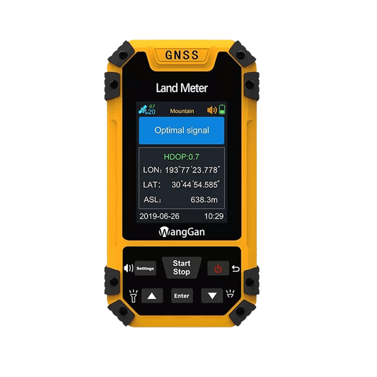
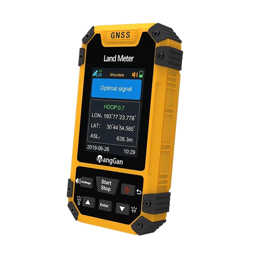
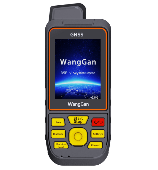
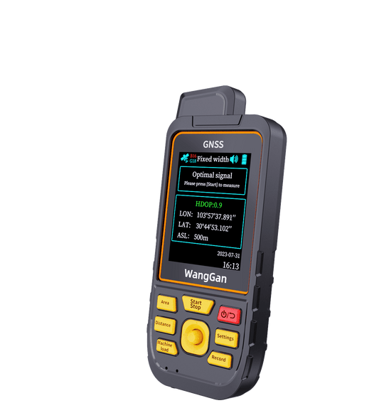
The D6E Positioning Device is designed to make coordinate collection and waypoint navigation more straightforward for everyday field use.
Easier Coordinate Collection
When arriving at a location, users can quickly collect and save coordinates directly on the device. After recording one point, the next point can be collected immediately, helping improve efficiency during multi-point fieldwork.
The D6E supports multiple coordinate systems, including:
• WGS84
• UTM
• Arc1950
• GDM2000
• GCJ2000
This allows users to work with different mapping standards and project requirements more easily.
Practical Positioning Accuracy
Under typical conditions with SBAS enabled, the D6E can achieve up to around ±1 meter accuracy, making it suitable for general field mapping, waypoint marking, and outdoor data collection tasks.
Navigate Back to Saved Points
Saved waypoints can be selected directly from the records for navigation. The device provides:
• Distance guidance
• Direction arrows
• Simple route lines
to help users navigate toward target points during outdoor work.
This can be useful for applications such as surveying, forestry, GIS collection, utility inspection, and other projects that involve repeated visits to specific locations.
Designed for Everyday Field Use
The D6E combines coordinate collection, waypoint navigation, track recording, and data management in one handheld device.
If your work involves collecting coordinates and navigating back to field locations regularly, the D6E offers a practical and reliable way to make outdoor work more organized and efficient.