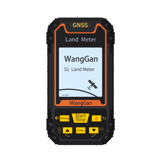
5 Basic functions and usage of handheld land meters you should know
Handheld land meters, also known as portable land measurement equipment, are compact tools designed to measure land dimensions and related parameters with ease. Here’s an overview of their basic functions and usage:

Basic Functions
1.Area Measurement: The handheld land surveyor can measure the area of a piece of land, which is the most important function of the land surveyor. Our devices have the following measurement modes:
- Normal Area Measurement: The handheld device circles around the land to be measured, and the device will automatically measure the area of the circled land. This is the most common mode.

- Length and Width Area Measurement: Use the device to record the long and wide sides of the measured land, the device will automatically measure the size of this rectangular area of land, applicable to rectangular land.

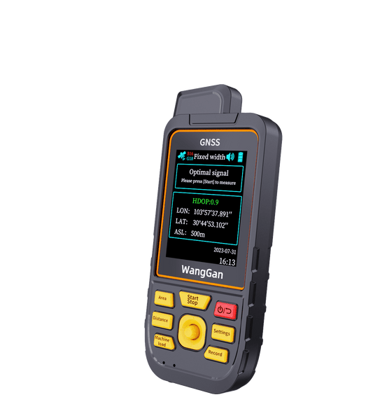
- Fixed Width Area Measurement: Set the width value in advance, then walk around the edge line of the measured land, the device will automatically measure the size of this piece of land, applicable to strip or long strip of land.

- Fixed-point area measurement: start from the starting point, pick up points at each corner of the measured land, and finally return to the starting point again. The equipment will automatically measure the size of this rectangular area of land, suitable for polygons where all sides are straight.

- Sloping land measurement: The measurement method is the same as the normal area, circling around the land being measured. However, you need to set it to slope mode in advance, manually input the slope value of the measured land, or turn on the intelligent slope mode (recommended), the device will automatically recognize the current land slope value and measure.

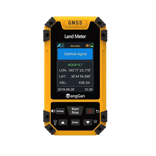
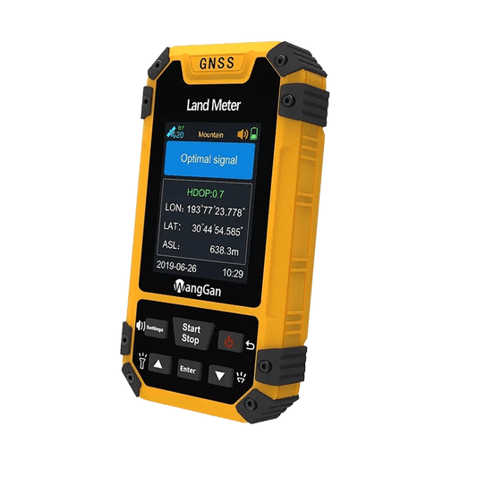
- Mountain Measurement: This mode is suitable for measuring the area of the whole mountain, take points at the foot and top of the mountain, and then circle around the foot of the mountain, the device will get the current surface area of the measured mountain. The peaks in this measurement mode are modeled as near cones, so it is not applicable to non-standard shaped peaks.

2.Distance Measurement: Our land meter can measure land distance. This feature is essential for mapping land parcels, determining the length of land boundaries or measuring the distance between rows of farmland. Our devices have the following measurement modes:
- Normal Distance: Hold the device and walk from the starting point to the end point, the device will automatically measure the distance of your walking route (please note: it is a track and not a straight line, for example, if you hold the device from the starting point to the starting point, the measured distance is the length of the circle you walk, not 0.)

- Fixed-point distance: hold the device at the starting point to pick up points, pick up points at each corner of the route, and walk to the end to pick up points again. The device will automatically measure the distance of your walking route (please note: it is the sum of the straight-line distance between the various turning points rather than the straight-line distance between the starting point and the end point, for example, you take the device from the starting point around a circle back to the starting point, the measured distance is the length of your walk around the circle, not 0.)

- Slope Measurement: The method of slope measurement is the same as the above two methods, only need to set the slope value in advance, you can use the normal slope distance mode or fixed point slope distance mode.

3.airborne measurement: Generally speaking, our farmland area is very large, it is sometimes difficult to measure out the area by walking, some of our equipments also support the airborne function, which can be installed on the vehicle for measurement (please note: it is not to import the data into the vehicle GPS or the equipment), there are the following measurement modes:
- Circle Machine Load Measurement:This mode is primarily used for airborne circular measurement patterns. Driving the vehicle around the land being measured can yield the land area.

- Round-trip Machine Load Measurement:This mode is suitable for back-and-forth operation modesprimarily used in agricultural machinery. Setting the width of the machine in advance, it is possible to derive the area of land being worked in round-trip agricultural operations.

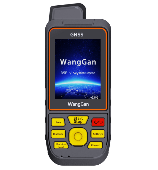
4.Navigation: our land meter S8 and D5E support navigation. Waypoint acquisition, route navigation and track navigation are possible.
5.Data storage, import and export: Our land surveyors can store measurement data, and can also import the data to a computer through our software, Export formats available include: CSV, DXF, GPX,KML, and images. Very useful for tracking changes over time or comparing with previous measurements.